Camden Valley, NSW Au
Welcome to Camden Valley, NSW Au
Location Details:
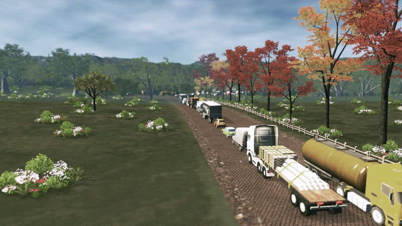
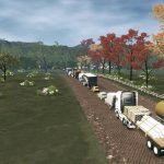
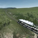
Camden is a historic town, south-west of Sydney, New South Wales, located 65 kilometres from the Sydney central business district. As you enter Camden, via Camden Valley Way, you’re greeted by the beautiful sight of the Maple Trees that (in Autumn) turn Red & yellow to give it extra charm & character.
Map Details:
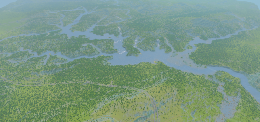
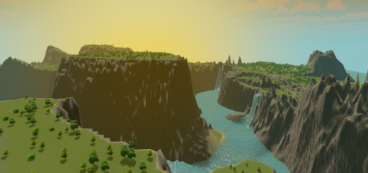
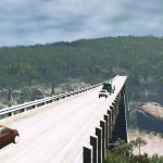
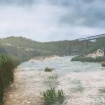
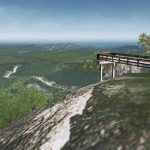
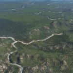
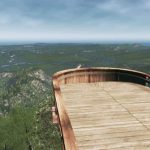
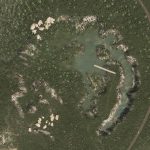
Rolling Hills, mountains & alot of buildable area to make this map your very own. The rivers & creeks have a natural ‘Ebb & Flow’ to them so you’ll notice that the water levels won’t be consistent but will always flow, this adds a certain realism to the creeks as, usually, they trickle-down in summer & flow more-so during rainy seasons.
i did notice a happy accident with these rivers… whether it-be a combination of the river itself, the intensity of the water-sources &or the natural water level we seem to have ‘Tidal Bores’ which is certainly not a natural occurrence in the real Camden but something i thought was pretty neat ?
Map Theme:
Monte Belo
LUT:
Cleyra
Required items:
(as listed)
its entirely up to you if you want to achieve the same look as seen in the pictures, regarding textures, however this is now your map & you make it your very-own how you see-fit.
If you DO; this is the ‘Theme Mixer’ Combination i have:
(to be announced)
I do recommend (but its not mandatory) that you also grab ‘Ultimate eyecandy’ as i’ve taken the time to accurately (or there-abouts) determine the correct sun-path using the Latitude & Longitude slider
the coordinates are:
Lat: -37′
Long: -69′
using these will help gain that Southern Hemisphere feel ?
Features:
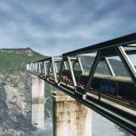
national road connection(s)
rail connection
many rivers (& creeks) for water treatment
all resources available
History:
The area now known as Camden was originally at the northern edge of land belonging to the Gandangara people of the Southern Highlands who called it Benkennie meaning ‘dry land’. North of the Nepean River were the Muringong, southernmost of the Darug people while to the east were the Tharawal people. They lived in extended family groups of 20–40 members, hunting kangaroos, possums and eels and gathering yams and other seasonal fruit and vegetables from the local area. They were described as ‘short, stocky, strong and superbly built’ and generally considered peaceful. However, as British settlers encroached on their land and reduced their food sources, they turned to armed resistance which ended in 1816 after many of their number were massacred.
Explorers first visited the area in 1795 and named it ‘Cowpastures’ after a herd of cattle that had disappeared was discovered there. In February 1805, Governor King instructed (apparently reluctantly) a surveyor to measure 5,000 acres (2,000 ha) for John Macarthur at Cowpastures, where Macarthur had been promised land by the Secretary of State for War and the Colonies, Lord Camden. Macarthur named his property Camden Park in honour of his sponsor.
As Macarthur’s wool industry thrived, local citizens began pushing for the establishment of a town in the area to support the industry. Surveyor-General Major Thomas Mitchell suggested Macarthur surrender 320 acres (130 ha) of his land for the purpose to which he refused. Following his death in 1834, his children decided to subdivide the land and the first lots in the new town of Camden went on sale in 1840. Camden Post Office opened on 1 May 1841, the day after the nearby Elderslie office (open from 1839) closed. By 1883, the population had grown to over 300 and a movement began to establish a local council which held its first meeting in 1889.
History courtesy of Wikipedia
Credits:
a special thanks to MrMiyagi for helping me learn map-creation… without his teachings i wouldn’t be able to make anything.
MrMaison AND Pdelmo for their super-quality Trees & vegetation assets… my maps would be baron boring topography if it weren’t for you guys.
Aquilasol & everyone else who has helped me with the technical issues i’ve encountered along the way (very much appreciated)
Lastly: if it weren’t for the high-standards of sir BonBonB via his map-reviews i wouldn’t have endeavoured to make anything this detailed.
If you like this map please Rate, favourite & add to your collection(s)
(it gives me motivation to make more for you all)
If you’d like to see a specific map feel free to contact & we can discuss…
Thank you so much ?

