Winnipeg, Manitoba, Canada
At the crossroads of Canada, at the intersection of the Red and Assiniboine Rivers, lies Winnipeg, Manitoba. After experiencing a rapid period of growth during the early 20th Century, it transitioned to a slow growth, diversified city, centering its prosperity on its transportation linkages. It is the primary point of interchange for rail and trucking traffic between Western and Eastern Canada, as well as between the West and the American Midwest.
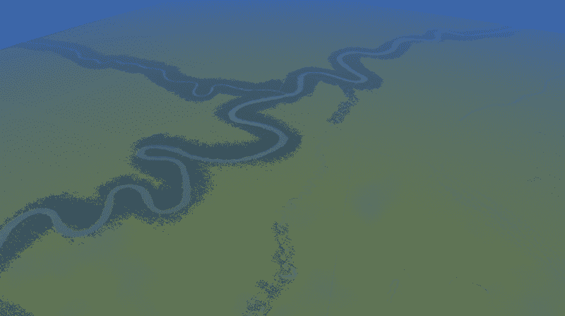
This map includes the railroads that criscross Winnipeg, as well as the City’s three main rivers and the Highway 59 link to the north. The rivers and railways/yards are as accurate to real life as I could make them.
I recommend using 81 tiles to get the best experience with this map, and make sure you download low poly Oak trees for the riverbanks. Make sure you download my Winnipeg road layout at


