

Vlerkenburg -Z-
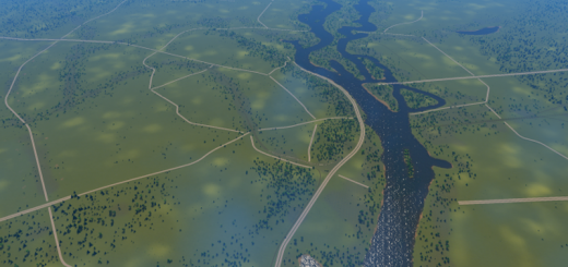
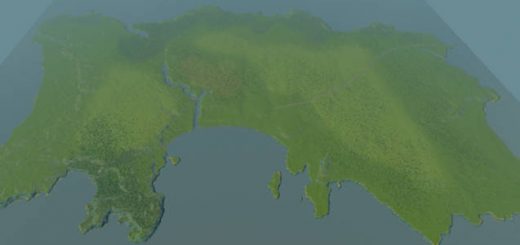
This map has a broad river delta that is surrounded by rough cliffs on its borders. The coast has smooth sandy beaches, and a handfull of tiny islands. Though there is plenty of elevation there is also lots of room to build your city.
Water
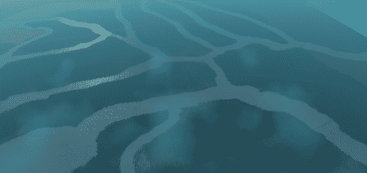
The main river splits in two right after entering the playing area, after which both rivers split again, the inner arms of the rivers meet at the coast. This gives the map a nice fragmented landscape. The current on the rivers is very strong. It should push sewage out to sea at a high speed. I’ve added four small lakes: one with a sandy beach, one along the river, a sereen mountain lake, and a square basin that can be used for sewage or pumping. They all have their own water source, so they won’t dry up.
Infrastructure
The map has four highways that intersect on two locations. Between these locations lies the starting tile, so that traffic spreads out evenly. There are three railroads, one passing the starting tile. Along the coast are ship routes. Only the large river has a ship route, to prevent an overwhelming amount of traffic on the waterways.
Resources
There is a lot of farmland, and it has a mix of thick and very narrow treelines. Between the many farmplots are oil fields. The mountain range further inland has large fields of ore, but there is also an ore field near the starting area.
I named the map Vlerkenburg, because I thought it would sound funny in English. Vlerk is an outdated Dutch word that means ‘rascal’.
Let me know if you have suggestions, feedback or if you just want to show some pictures of your city! Have fun!
Typical Dutch Landscapes
Drebbeldam (European)
Mondriaansland
Pierdoniadiel
Coastal
Kruyswick (European)
Baardmans Bay
Spykerbrook
Islands
Ambrose Island (European)
Teyland
Great Flutland
View the Main Collection
View the Classic Collection
View the Smooth Highway Collection


