Zwolle – Overijssel, NL
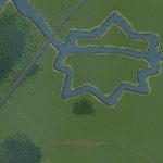
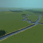
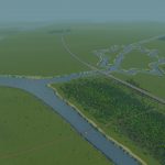
My second real world map is about Zwolle in the Netherlands. It lies next to the river IJssel and has a remarkable star shaped centre, surrounded by a moat. This type of moat is relatively common in the Netherlands, though many Dutch cities have filled their medieval moat. Zwolle’s moat is completely intact, and has a small part of its old defence walls and towers still standing. Currently Zwolle is an economic gateway to the north and east of the Netherlands, because of the rather large train station.
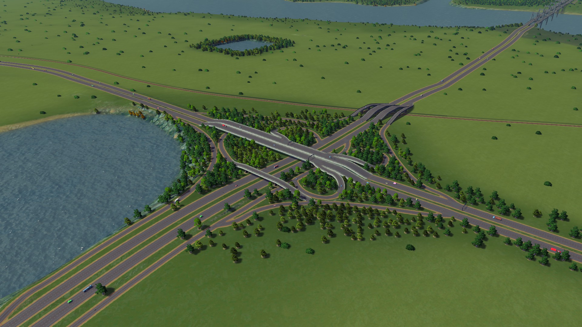
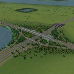
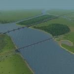
The map itself isn’t based on a heightmap, I couldn’t get that to work. I created it with data from the AHN. Therefore the scale is a bit off, water masses are slightly oversized. Which is also good, because otherwise the city moat wouldn’t have a current. I’ve recreated the Knooppunt Hattemerbroek, which has highway connections in the A50 toward the west and south, and the A28 to the south and east. Rail is limited to four directions: Kampen, Amersfoort, Deventer, and Groningen. This is because of the limit on 4 outside connections.
Typical Dutch Landscapes
Drebbeldam (European)
Mondriaansland
Pierdoniadiel
Coastal
Kruyswick (European)
Baardmans Bay
Spykerbrook
Islands
Ambrose Island (European)
Teyland
Great Flutland
View the Main Collection
View the Classic Collection

