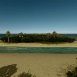

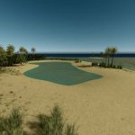
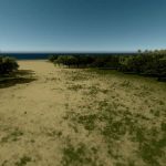
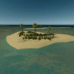
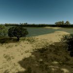
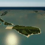
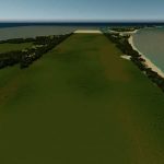
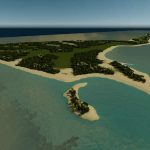
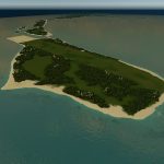
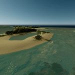
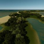
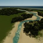
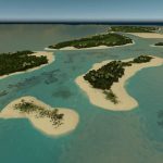
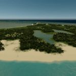
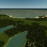
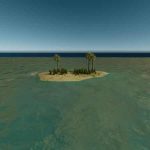
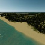
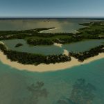
Seenu (Official Map)
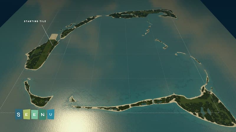
Welcome to the official map for the Cities Skylines YouTube series: Seenu.
This is no ordinary map. It was specifically designed for my YouTube series and if you wish to play on it you have to bare in mind a few things, this map:
- Doesn’t have road connections.
- Doesn’t have rail connections.
- Has only one flight path.
- Has only one ship path.
- Uses natural resources only as texture variants.
How do I play this map if it doesn’t have road connections?
— Whatever type of city you create on this map will require passengers and cargo. You can get passengers into your city by building a Passenger Cruise Terminal or an Airport, for cargo you will require a Cargo Harbor.
Do I need all of the listed dependencies?
— Absolutely not. All of the dependencies are for aesthetic purposes, pick and choose what you like.
Why is the ship path on the edge of the map?
— Since this map doesn’t have road connections, you will get an increasing amount of ships spawning. I placed the path on the edge of the map so that the huge number of ships is hidden under the “edge fog”, that way it looks a bit more realistic. Also, you might want to play with your city’s budget to reduce spawning and the Advanced Vehicle Options (AVO) to control the capacity and what ships spawn.
Why is there one flight path?
— The flight path was strategically placed perpendicular to the suggested airport location so that planes can land and take off in the most realistically way possible. I’ve tested multiple configurations and this was by far the best.
Is the map 1:1 scale?
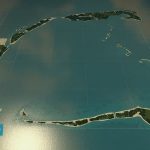
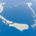
— Yes and no. In order to fit most of the islands inside game’s default 25 tiles I had to shrink the map a bit. The major islands themselves are basically 1:1 scale, but the distances between them are not. See the atoll on Google Maps.
When I try loading the save it says: “The custom map theme used by this map or save is missing”?
— I get that message all the time, as long as the map theme appears in the drop-down window just click “Yes” and it’ll load fine.
From Wikipedia — This map is based on the Addu Atoll, previously also known as Seenu Atoll, is the southernmost atoll of the Maldives. Addu Atoll, together with Fuvahmulah, located 52.3 km north of Addu Atoll, extend the Maldives into the Southern Hemisphere. Addu Atoll is located 541 km south of Malé. Administratively, Addu Atoll is the site of Addu City, one of the two cities of Maldives. Addu City consists of the inhabited areas of Addu Atoll, namely the natural islands of Hulhudhoo, Meedhoo, Maradhoo, Feydhoo, and Hithadhoo. (The districts of Addu City are not according to the natural islands that it comprises). In addition to the areas that are included as a part of Addu City, Addu Atoll has a number of uninhabited islands, including the island of Gan, where Gan International Airport is located. Learn more[en.wikipedia.org]
- Seenu (Map Theme)
- Seenu (Color Correction)
You should follow me on Twitter:

