Agadir Morocco – XL City Size
Agadir (Berber: Agadir, ⴰⴳⴰⴷⵉⵔ; Moroccan Arabic: اݣادير) is a major city in Morocco, located on the shore of the Atlantic Ocean near the foot of the Atlas Mountains, just north of the point where the Sous River flows into the ocean. It is at a distance of 508 km to the south of Casablanca. It is the capital of the Agadir-Ida Ou Tanane Prefecture and of the Souss-Massa economic region. A majority of its inhabitants speak Shilha/Tashelhit, a Berber language of the Atlas branch, as their first language.
It is now the largest seaside resort in Morocco, where foreign tourists and many residents are attracted by an unusually mild year-round climate. Since 2010 it has been well served by low-cost flights and a motorway from Tangier. The city attracts all walks of life; it has had an annual growth rate of over 6% per year in housing demand while housing production barely exceeds 3.4%
************* MAP INFO ******************
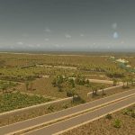
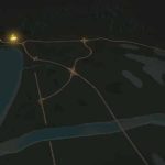
4x of each transport connection. Because of the game mechanics, there are some differences with real life, namely that this map has 4 rail lines and what are major roads in real life are highways here.
Challenge: Traffic from the North-West (along the coast) will be heavier. The two highways to the south have a bypass, which will alleviate a lot of neighbor to neighbor traffic.
ENVIRONMENT:
* OWL’s Tropicity Desert was used for this map. You can of course use the default theme instead, so Tropicity is optional.
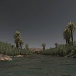
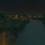
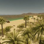
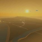
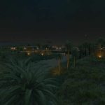
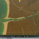
* Vegetation in your city: Agadir is located right on the beginning of the High Atlas Mountains, a valuable source of fresh water. Also you will see to the south of your map is the Sous River. Your city will spawn buildings with green leafy trees – this will be perfectly fine and is seen in the real Agadir. See video for inspiration.
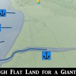
* Water Supply – You will most likely want to use water towers for the beginning, until you reach the Sous River to the south. Be very cautious about the currents around the harbor when placing water utilities. Water management is more difficult for this map compared to my other maps, on purpose.
DECORATION:
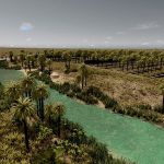
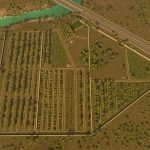
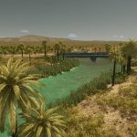
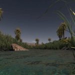
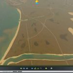
* Wadi – Nicely decorated very thin Wadi, a small river that can go dry seasonally. Plants and trees find these an ideal place to survive.
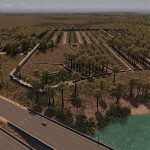
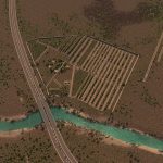
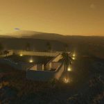
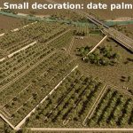
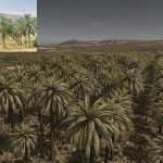
* Small Date Palm Plantation – along the wadi is decorative little “oasis” like walled off date plantations and little farms. Takes up a small piece of a square neighboring the start square
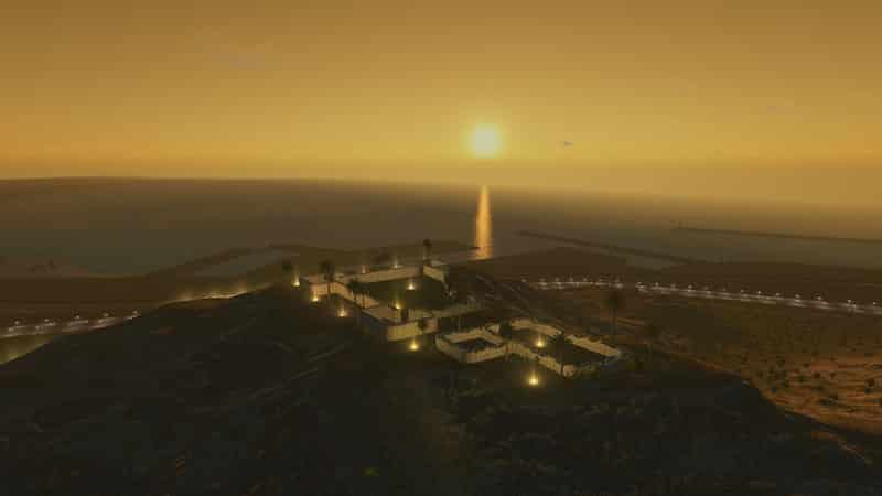
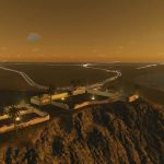
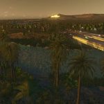
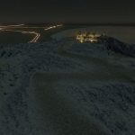
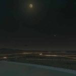
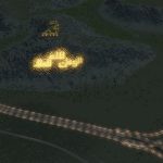
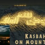
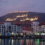
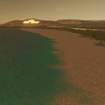
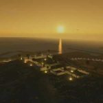
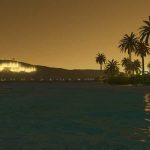
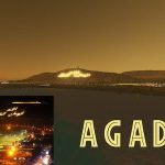
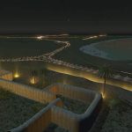
* Casbah and Words on Mountain – The Agadir Oufella is on top of the hill overlooking the city. The hill bears the inscription in Arabic: “God, Country, King” which, like the walls, is in real life illuminated at night.
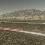
When you open your map, you will see the inscription is outlined with large rocks
I cannot light up the casbah and Inscription inside the map maker for you. I can share the save game with the lights placed and working (the very same you see in the pictures) if someone wants it. To make the illumination on your own, place lights along the inscription with the Network Skins mod with the Modern Lighting Pack. Prop and Tree Anarchy will help make placement a lot easier, and you’ll also need More Beautification to place them.
Network Skins:
Modern Lighting Pack:
More Beauitification (to place lights by hand)
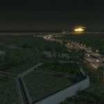
In the center of the map is a beautiful intersection by Agusingnavy. Check out his shop here:
Google Satellite View:

