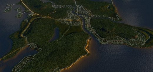
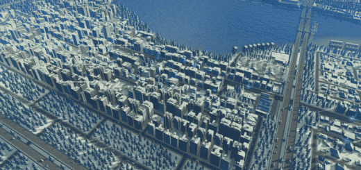
Albany, New York, accurate street layout
The city of Albany, New York with accurate street layout from North Manning in the north, Whitehall to the south, the Hudson River in the east to Route 85 in the west. In the spaces where the roads dip out of city limits, I’ve connected with dirt roads. Extra tiles mod would be needed to fill these small gaps. The artery going to and from the plaza is the least accurate, there are so many on and off ramps, here there is just a simple roundabout, perhaps it will have a better setup in a future update. There is enough room where the plaza would be for the High Interest tower to represent the corning tower, and the Opera House to represent the Egg, you’d just have to put some kind of road into the plaza, additionally there is room for the stadium where the Times Union Center is. Besides that central 787 interchange, all streets are as accurately laid out as possible. Feedback is totally welcome!


