
Arnprior
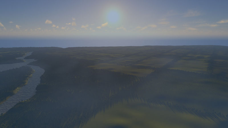
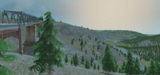
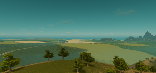
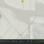
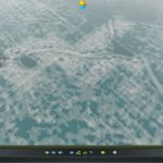
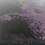
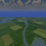
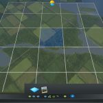
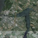
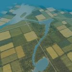
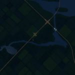
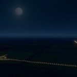
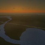
This is a height map of Arnprior, Ontario about 45 minutes west of Ottawa. Here is the bounding box if you want to get the osm -76.268098,45.496308,-76.498779,45.334611
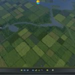
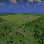
It’s not a faithful reproduction, I moved the highway and added another to Quebec. I also laid out the farms in a 200unit by 200unit grid, about 1 square mile or 256 hectares. I left the original cross street in the starting tile so you can reproduce it.
235k trees
4 air routes
4 highway
3 rail
2 ship
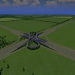
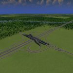
Partial Cloverstack
Partial Parclo for Maps
Fine Road Heights
Configruable Slope Limits
Precision Engineering
More Network Stuff
None are required to play

