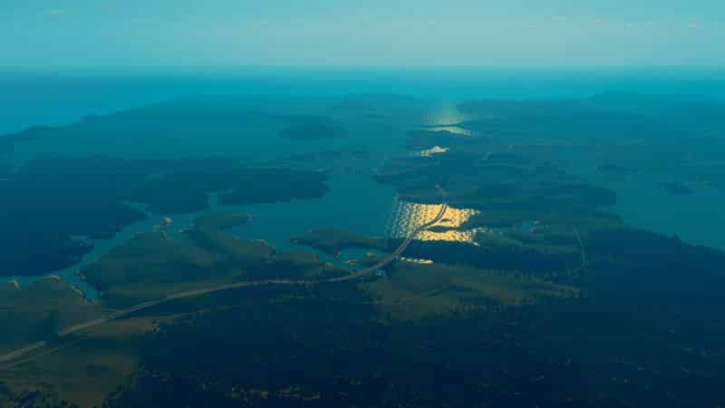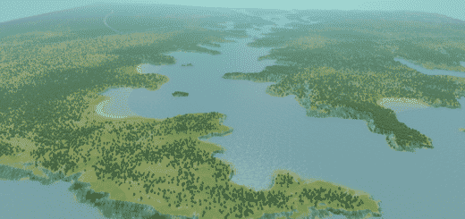
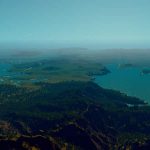
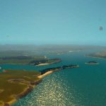
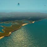
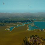
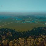
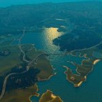
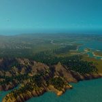
Auckland
On 27 January 1832, Joseph Brooks Weller, eldest of the Weller brothers of Otago and Sydney bought land including the sites of the modern cities of Auckland and North Shore and part of Rodney District for “one large cask of powder” from “Cohi Rangatira”. After the signing of the Treaty of Waitangi in February 1840 the new Governor of New Zealand, William Hobson, chose the area as his new capital and named it after George Eden, Earl of Auckland then Viceroy of India. The land that Auckland was established on was given to the Governor by local Maori iwi Ngāti Whātua as a sign of goodwill and in the hope that the building of a city would attract commercial and political opportunities.
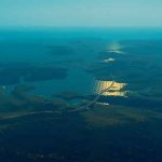
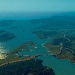
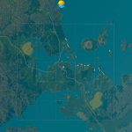
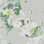
Auckland lies on and around an isthmus, less than two kilometres wide at its narrowest point, between Mangere Inlet and the Tamaki River. There are two harbours in the Auckland urban area surrounding this isthmus: Waitemata Harbour to the north, which opens east to the Hauraki Gulf, and Manukau Harbour to the south, which opens west to the Tasman Sea.
Auckland straddles the Auckland volcanic field, which has produced about 90 volcanic eruptions from 50 volcanoes in the last 90,000 years. It is the only city in the world built on a basaltic volcanic field that is still active. It is estimated that the field will stay active for about 1 million years. Surface features include cones, lakes, lagoons, islands and depressions, and several have produced extensive lava flows. Some of the cones and flows have been partly or completely quarried away. The individual volcanoes are all considered extinct, although the volcanic field itself is merely dormant. The trend is for the latest eruptions to occur in the north west of the field. Auckland has at least 14 large lava tube caves which run from the volcanoes down towards the sea. Some are several kilometres long.
– Tropical theme
– 3/4 highway connections, all of the others.
– Roughly 130K trees used.
– All resources.
– I recommend using a 25-tile mod.
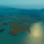
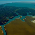
Disclaimer: This map is not supposed to be an excact replica of the actual area. The scale that the map is taken on (aswell as human errors from a non-Kiwi that doesn’t know the area) distorts the ingame heights and sizes of many things. I’ve used google maps to try and replicate the area as good as possible, some things I’ve altered for gameplay reasons, like the highways and railroads.

