

BALI STRAIT
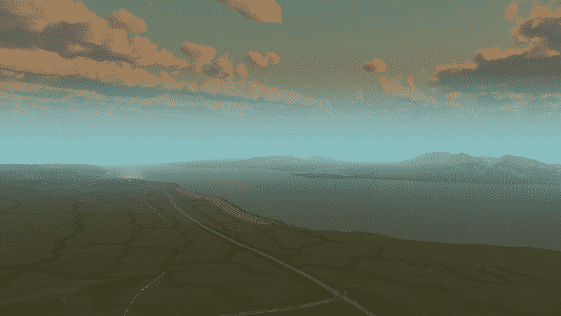
Bali and Java (Indonesia) are separated by the Bali Strait, a narrow stretch of water only 3km across. Ferries operate 24 hours a day and can be accessed simply by arriving and buying a ticket. Cars, trucks and motorbikes can also roll up and get on without too much of a hitch.
Bali has 5 bodies of water surrounding it. These are the Lombok Strait to the east, the Badung Strait to the SE, the Bali Sea to the north, the Indian Ocean to the SW and the Bali Strait to the west. Just 3km across the Bali Strait is also only 60 meters deep (compare that to the 1,300 meter deep Lombok Strait) and currents can be difficult.
Traditional prahu (wooden boats with outriggers) would sail from Java all the way around to Perancak on the SW coast near Negara, then up the Ijo Gading river to Negara. The first regular ferry service between Bali and Java was set up in the 1930’s. The port in west Bali is Gilimanuk, its counterpart in Java is Ketapang.
Bali and Java were once joined, up until the end of the last Ice Age, went sea levels increased. Bali and Java occupy part of a tectonic plate called the Sunda shelf, so Gilimanuk and Java were once joined.
+ RealMap 1:1 (18km)
+ Tropical map theme
+ 4 Incoming/Outgoing Highway connections
+ 4 Incoming/outgoing Railway connections
Feel free to make suggestions or report issues in the comments…

