
Cedar Rapids, IA USA
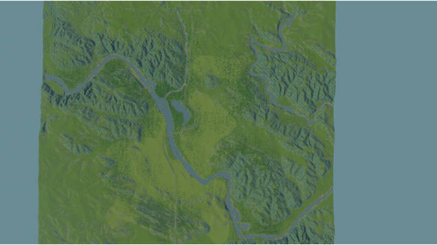
This is a map of Cedar Rapids, Iowa. Cedar Rapids is a city in the US state of Iowa. Located in the eastern portion of the state it has a population of 126,000, making it the second largest in the state. It is located along the Cedar River, a tributary of the Mississippi via the Iowa River. Cedar Rapids is a hub for grain processing, including food and ethanol production.
The map was created with the terrain.party website and was edited with the map tool before uploading. Being Iowa, much of the land is marked as fertile. There are some ore deposits on the map as well.
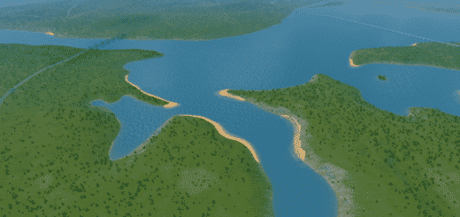
Terrain.party greatly exaggerated the local topography, which has led to some dramatic terrain, mostly along the river.


