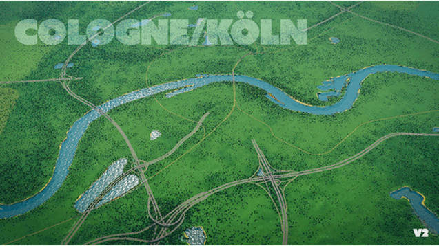
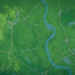

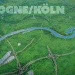
Cologne/Köln v2 – detailed, hand drawn map
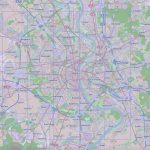
This is an updated version to the very detailed, very realistic map of Köln (Cologne), Germany
started off a heightmap from terrain.party, the rhine river, all large lakes and highways have been constructed using openstreetmap data and finetuned by hand.
this map is about 2× size to encapsulate suburbs like Hürth, Weiden, Pesch, Dünnwald, Merheim, Porz, Zündorf
great with the unlock 25 tiles mod!
Features:
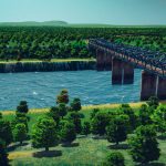
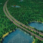
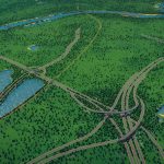
—All Highways surrounding and leading into cologne (A3, A4, A57) with accurate intersections
—Major train tracks from all directions (also: ships and airplanes)
—Highway connection in starting tile: A57 coming in from North with exit in Ehrenfeld
—Trees and Forest of Stadtwald and Grüngürtel
—Oil in south and fertile land in the corners for farming suburbs
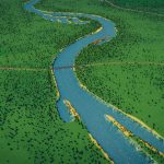
—Accurate waterfront and water level
—Elevated platform to place Cathedral and build waterfront road
All highways and railways can be deleted and rebuilt
Read about the process here:

