De Gallemiezen -Z- (European)
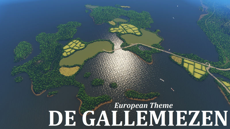
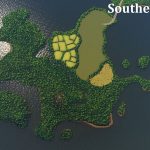
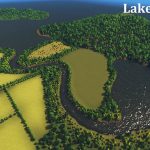
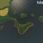
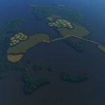
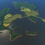
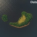
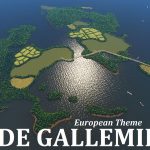
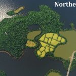
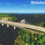
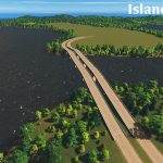
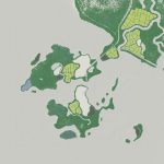
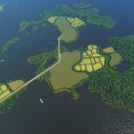
This map has many islands, big and small, and a fair amount of mainland. The map is split between two large islands, a northern and southern, and you start right in the centre at the bridge connecting them. Around these two are various smaller islands, and a little bit further away there’s two ‘outer islands’. The map has six empty tiles to prevent it from looking too square. I suspect this is a difficult map to play without the mod that unlocks all tiles. There is not much room to build and only two small streams. However, with some careful planning it is definitely possible.
Infrastructure
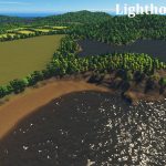
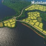
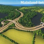
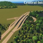
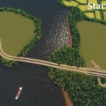
There are two rail and two highway connections coming in from the mainland, and they fuse before entering the islands. There are a ton of ship routes, which I haven’t tested for dense traffic, but all islands should have access to these routes. The empty green areas without trees are completely flat at a height of 60. There should be enough room for an airport, but space is scarse so you should plan ahead.
Water
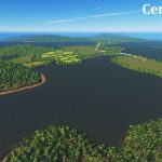
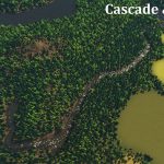
Obviously there is a lot of seawater, but there are a few spots for fresh water as well. Each large island has a lake that can be used for sewage or pumping as they have their own water source. There is also a lake and a river on the mainland. Both islands have a small stream, but I advice against using these for pumps since they are very narrow. There is also a tiny mountain lake on the northern island.
Resources
There are five farmlands, five ore fields, and five oil fields. The farmland are slightly hilly. There are 190k trees on this map. I’ve tested the stability of the map and on a few areas the amount of trees can cause the game to be a little laggy. If you encounter lag, this might be the cause.
This map is a bit more tricky to play then usual, but I managed to build a decent city without any mods. A few tips for water management:
- Use the coast or lakes for pumping and sewage, the small rivers are not suited for this.
- You can ‘clean’ a polluted lake by placing an unconnected water pump in it.
- There is a very slow current between the islands, check the water flow to see where the pollution will go.
The name of the map comes from the Old Dutch/Yiddisch phrase ‘X went to the gallemiezen’. It means that something is completely destroyed. I thought it sounded like a funny name for an island group. If you encounter issues or have suggestions let me know in the comments. Have fun!
Typical Dutch Landscapes
Drebbeldam (European)
Mondriaansland
Pierdoniadiel
Coastal
Kruyswick (European)
Baardmans Bay
Spykerbrook
Islands
Ambrose Island (European)
Teyland
Great Flutland
View the Main Collection
View the Classic Collection
View the Smooth Highway Collection

