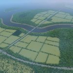
De Voortuin -Z- (European)
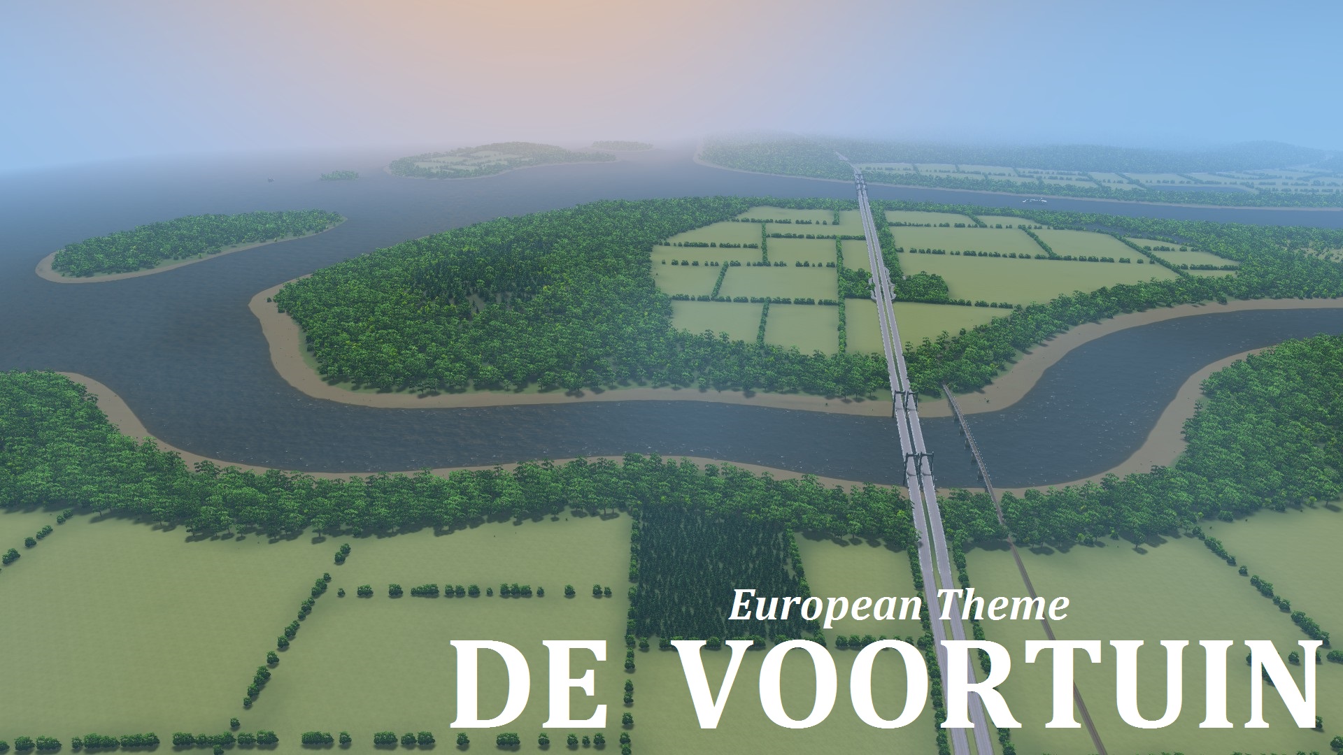
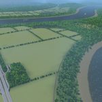
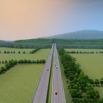
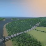
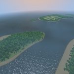
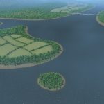
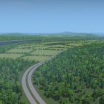
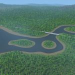
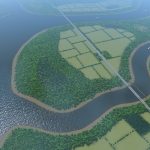
This map has a smooth landscape with rolling hills and two rivers. Along the borders of the map are lakes, ridges and a few islands. The large central island lies between the rivers and has a highway cutting through it.
Infrastructure
There are four highway connections, in the middle of the map lies a completely straight segment that goes through the starting tile. There is one line of railway that’s also crossing the starting tile. Both rivers have ship routes. There is plenty of flat terrain, though further away from the starting tile, the terrain gets a bit bumpy.
Water
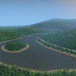
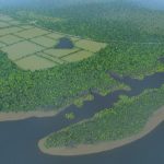
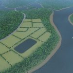
There are two rivers with decent currents. On either side of the map are small streams that form a lake, both have small islands in them. There are three tiny natural lakes that can work for sewage, but there is also an artificial square lake that is prefect for placing filtration plants. In the southeast corner is an area of ‘broken land’, with cliffs and pools.
Resources
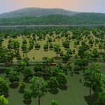
There are four oil, four ore and four farmland locations. There are a lot of trees (248k) and the farmland has narrow treelines. Unlike my other maps, these farmlands do not have oil or ore resources in them, instead they are completely made from fertile soil.
The name of the map is based on the Dutch word for ‘front yard’.
Leave a comment if you have suggestions or if you want to show your creations. Have fun!
Typical Dutch Landscapes
Drebbeldam (European)
Mondriaansland
Pierdoniadiel
Coastal
Kruyswick (European)
Baardmans Bay
Spykerbrook
Islands
Ambrose Island (European)
Teyland
Great Flutland
View the Main Collection
View the Classic Collection
View the Smooth Highway Collection

