Drebbeldam -Z-
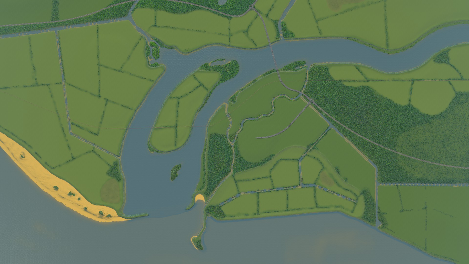
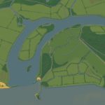
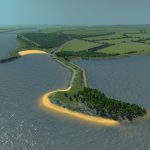
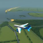
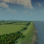
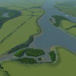
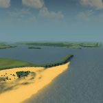
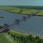
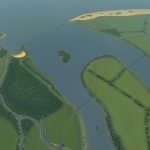
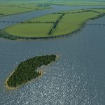
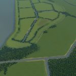
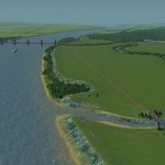
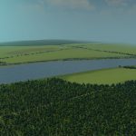
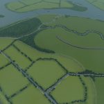
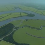
This map was my attempt to create an incredibly Dutch map. It is not based on a real location in the Netherlands, but I was inspired by places like Marken, De Veluwe, Flevoland, Nijmegen, Rotterdam, and De Biesbos. The map has a polder, several canals, some creeks, a lake, a big river island, a small island, and an island connected by a landbridge. There is a strip of dunes, a few inlets along the river, and all water is surrounded by dikes. The main river has a strong current, but is halted by breakwaters when it reaches the sea. There are stretches of of floodland, known as “uiterwaarden” in Dutch. Water flow is stable, as long as you keep the dikes intact.
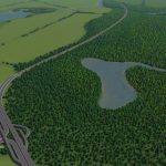
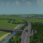
The soil in the polder is very fertile. I managed to have canals in the polder, which is effectively water below sea level. The strips of trees between the farmland are supposed to resemble the iconic populus trees that span the Dutch horizon. There are three spots of oil and three strips of ore, in various sizes. There is railroad that crosses the starting tile. There are three incoming highways. Ship paths are available along the river.
I named the region after the brilliant Dutch engineer Cornelis Drebbel[en.wikipedia.org]. He made the first microscope and the first submarine.
I also like to direct you to this amazing Dutch windmill made by Bonzodoggie. Because I think it goes great with this map.
Here you can find a European Theme version of this map: Drebbeldam (ET)
Typical Dutch Landscapes
Huygenswaard
Mondriaansland
Pierdoniadiel
Coastal
Kruyswick (European)
Baardmans Bay
Spykerbrook
Islands
Ambrose Island (European)
Teyland
Great Flutland
View the Main Collection
View the Classic Collection
View the Smooth Highway Collection

