Duvelbek Bay -Z-
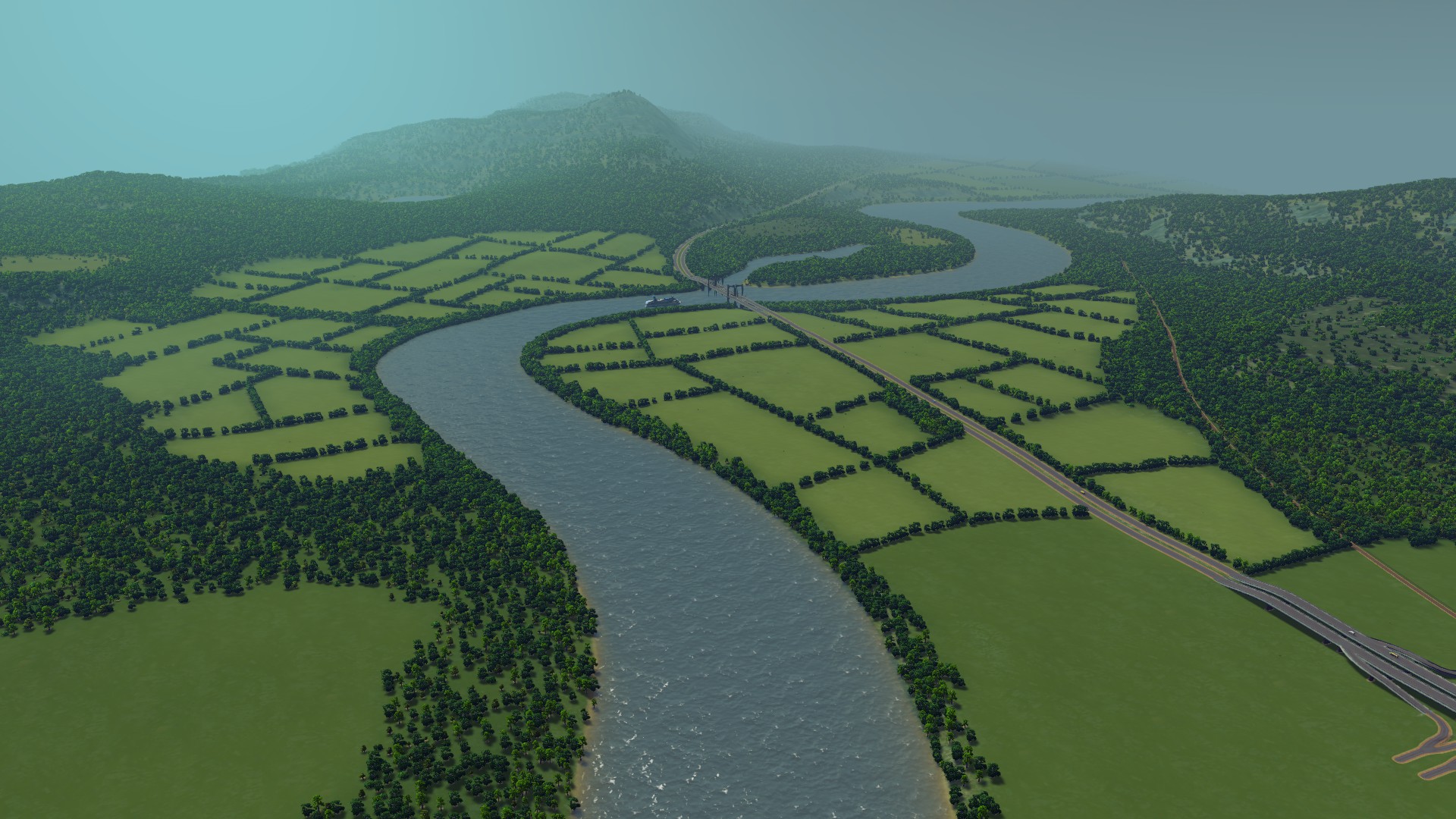
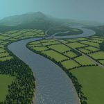
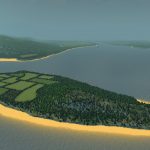
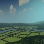
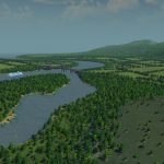
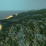
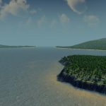
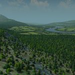
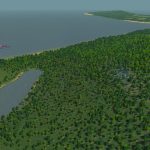
It’s been a while since my previous map, but the announcement of the expansion pulled me right back in the editor. So here it is, Duvelbek Bay. A wide, rocky map with lots of beaches and scenic locations. I’ve kept the upcoming expansion in mind while making this map, because it will focus on tourism and nightlife.
Infrastructure
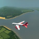
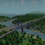
There are three highway connections, with a main one cutting through the starting tile. There are ship routes along the coast and on the big river. There is a single line of rail, also going through the starting area. I’ve left some space along the mountains for future roads, so it shouldn’t be too difficult to connect each arEa.
Water
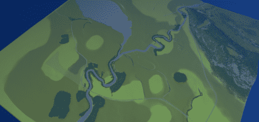
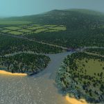
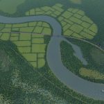
There is a large river that serves as the main artery for ships, and a smaller stream at the edge of the map. I’ve placed two small lakes that you can use for water supply, or sewage. The sewage will pollute the bay area if you place them on the river, if you want the bay to remain clean you should place your sewage facility away from the main river.
Resources
There are five oil and five ore fields, scattered across the map. The island has a strip of ore. I’ve made large farmland sections. These are only fertile grounds, i’ve not used any resources fields for aesthetic purposes.
I want to thank the people that left comments on my maps the past few months. I know I haven’t been very active in putting out new maps, and maybe that’ll change, but want to let you know I’ve read all of them and they are much appreciated. Thank you for being a great community and have fun building!
Typical Dutch Landscapes
Drebbeldam (European)
Mondriaansland
Pierdoniadiel
Coastal
Kruyswick (European)
Baardmans Bay
Spykerbrook
Islands
Ambrose Island (European)
Teyland
Great Flutland
View the Main Collection
View the Classic Collection
View the Smooth Highway Collection

