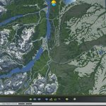
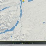
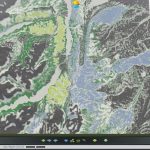
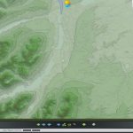
Glacier National Park – St. Mary
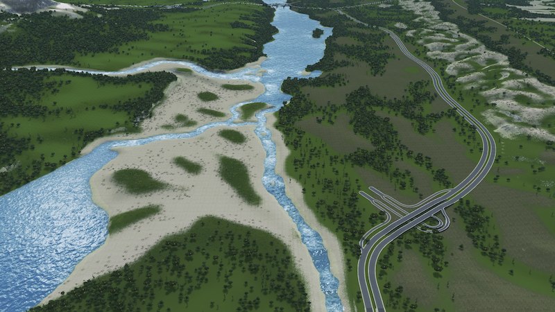
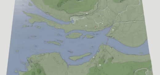
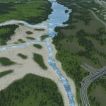
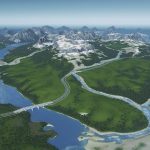
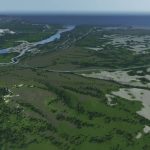
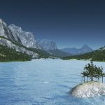
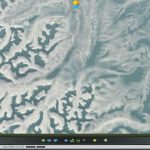
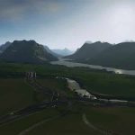
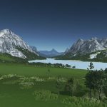
This Glacier National Park map is focused on the area around St. Mary and the Saint Mary Lakes.
Design:
As the foundation of this map i’ve used a heightmap of the real location. To make this area more playable, several hills and plateaus have been softened/lowered and the Lower Saint Mary Lake has been extended towards the north to accomodate access for cruise and cargo ships.
A few rivers are pretty wild intentionally and others have taken hours to get rid of the burpy/wavy waterflow. Several rivers that flow into the Saint Mary Lakes are also suited for hydroelectricity dams. For example, the one closest to the starting area can get you ~256MW.
Ore and Oil resources are placed in an aesthetically pleasing pattern which also mimics the more barren landscape at the edge of the park.
Statistics:
4/4 in- and outgoing road, train and airplane connections
2/4 in- and outgoing ship connections
188K trees have been used of which about 33% are the low poly trees by pdelmo
Required Items:
Regarding the required Ultra low tri trees item, i have used only tree model Lp5 full of that set.
Color Corrections are super subjective and can look very different between players since we all use different monitors with slightly different color temperatures and brightness. The map was made using the matching Cleyra map theme and LUT color correction, but i would love to hear which other LUTs you guys prefer.

