Glasskust -Z-
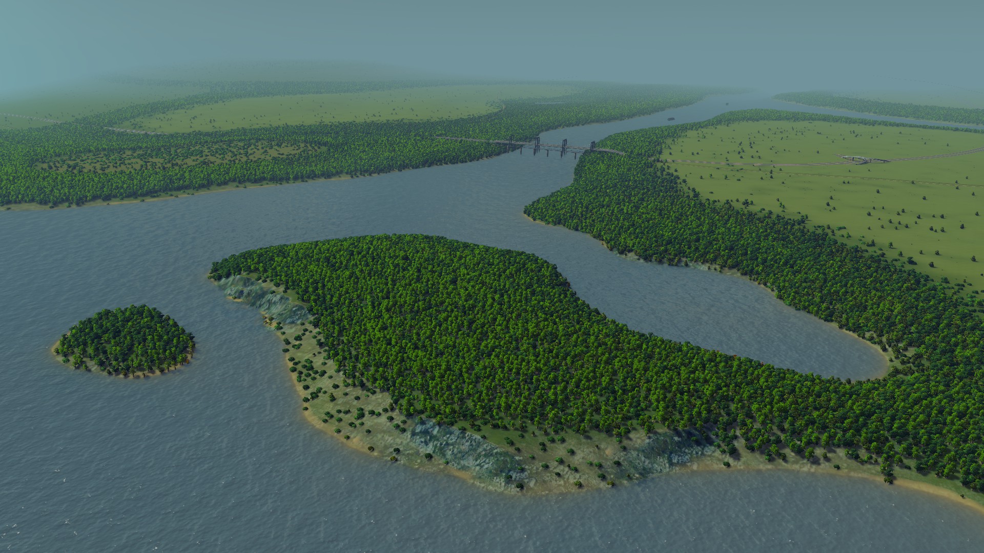
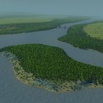
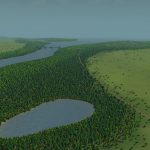
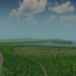
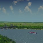
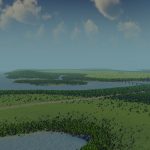
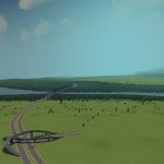
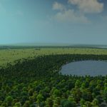
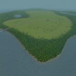
This map has a river that splits in two. The water has a strong current, enough to push out any sewage into the sea. There is a main island that is quite flat, but with a small hill for your observatory. It also features a small lake connected to the river. On the mainland there is another tiny lake, and a larger lake that is excellent for water supply. On the borders of the map are five small islands. There are three distinct oil and ore fields. On the far end of the main island is a small peninsula.
Typical Dutch Landscapes
Drebbeldam (European)
Mondriaansland
Pierdoniadiel
Coastal
Kruyswick (European)
Baardmans Bay
Spykerbrook
Islands
Ambrose Island (European)
Teyland
Great Flutland
View the Main Collection
View the Classic Collection

