Isla Malaya v2.0
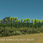
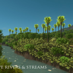
Please rate a Thumbs up if you LIKE or LOVE this map. PLEASE download /subscribe to all the trees in the required section. You won’t see those amazing floras shown in the screenshots if you didn’t.
1. Summer Tree #2 by Breeze
2. Summer Tree #4 by Breeze
3. Fern by ryanjamesoflondon
4. Robusta Palm Tree tall by ShroomBlaze
5. Robusta Palm Tree short by ShroomBlaze
6. Robusta Pam Tree short trim by ShroomBlaze
VIEW THE SCREENSHOTS IN FULLSCREEN TO ENJOY!
ISLA MALAYA Stream by mckuletzz:
READ ME!
FEATURES
– Flexible map (for tourism and industrial focused city.. Industrial trade in the mid islands is heavily dependent on sea trade)
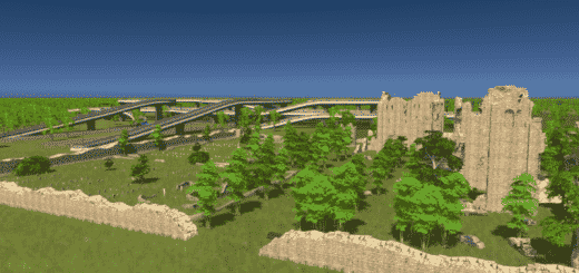
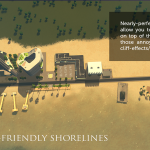
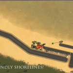
– Plop on top of the sands! Majority of the sandy shorelines are terraformed and won’t create a fringing effect when plopped with roads and buildings.
– Has 4 Ship Connections
– Has 2 Airport Connections
– 1 set of inbound and outbound land connection (to make it realistic since it’s surrounded by water)
– 1 train connection (separate the rail for goods and passengers)
– scenic views on every direction
– Map has abundant space for zoning, map is a neither too flat nor too hilly.
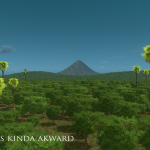
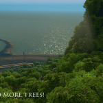
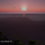
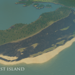
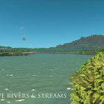
– NOTE: 2nd Screenshot LUT used: Overcast, New Caledonia Theme, Classic Daylight Mod.
GAMEPLAY TIP: To add some difficulty, outside road connections going into the initial tile is kinda lengthy. Raw material trades via road will really take some time. If you want to depend on road connections as your main source of raw materials for your general industry, create your factories on the eastern part of the map. For those playing vanilla and trophy mode… your main focus before creating heavy industry is to be a residential and commercial city until you can afford to buy the sea-side lots. This will open your city for sea trade.
ABOUT ISLA MALAYA
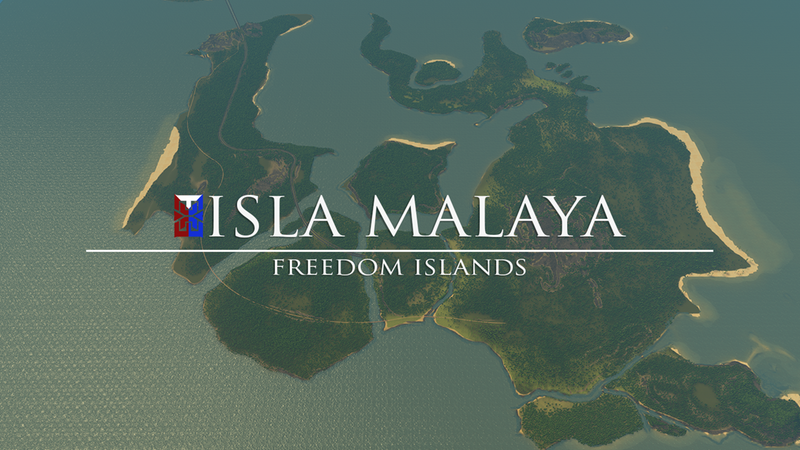
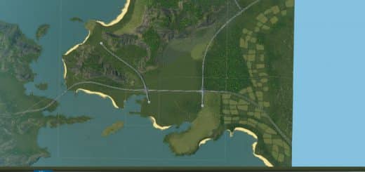
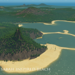
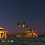
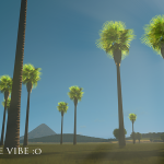
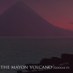
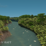
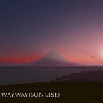
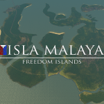
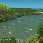
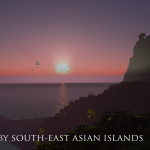
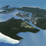
Isla Malaya (Freedom Island) is a hand-crafted tropical map, inspired by the Philippines and the South-East Asia. The view of the Mayon Volcano’s replica from the East will make you pause the game during sunrise (trust me, you would want to enter the screen and take a selfie). Tourists will flock the beaches located at the western part of the map to watch the dramatic sunset. There’s a coral hill located North West of the map. It has a small atoll perfect for beach tourism. You’ll also find a huge plateau with a white beach underneath located at the South West part of the islands. The two central islands, with their perfect geographical location, may become your transport and trading hub and be the capital district of your city. This area has a 360 degree access of the entire map; There’s also an open port at the North of it which will bring you the tourist and the goods you need to operate.
OTHER MAPS
Vexcarian Plains (a huge scenic plateau map)
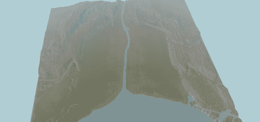
Karayan Valley (a scenic valley veined by rivers)

