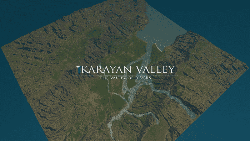




Karayan Valley v1.1
OTHER MAPS
Vexcarian Plains (a huge scenic temperate plateau map)
Isla Malaya ( South East Asian beach paradise)
Thanks for rating the item if you loved or liked it! ?
PLEASE READ THE DESCRIPTION BEFORE CHILLING OUT IN THIS MAP
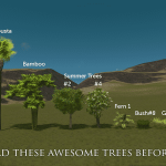
Before anything else, please subscribe to the required trees. They’re very awesome!~
STATS
– Tropical Map (LUT : Temperate, Tropical LUT is too strong)
– 2 sets of highway connection
– 3 railway connection
– 2 air connection
– 4 ship connection
– buildable area is mostly flat with some rolling hills
– working water system
– connecting the plateau and the valley is challenging due to steepness
BUILD YOUR DREAM CITY IN KARAYAN VALLEY!
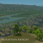
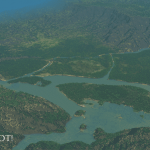
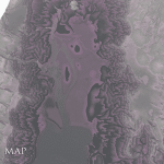
Karayan Valley is based on the concept of Cagayan Valley Region of the Philippines. This region is heavily surrounded by Mountain ranges. Fun fact: Karayan is a Filipino dialect word for river. This map will give you the experience of living on a mountainous Philippine province like Cagayan, Abra, La Union, Ilocos, Isabela et al.
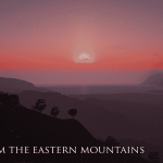
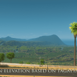
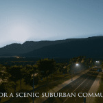
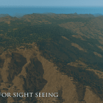
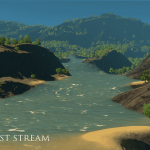
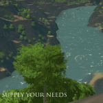
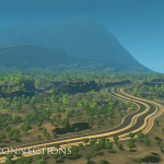
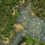
Expect scenic and stunning views from the mountains since Karayan Valley’s Eastern mountains and plateaus are based on the elevation map of Tagaytay city, a cold, plateau city in the PH; famous for it’s dramatic, heart-melting view of a volcanic lake (Taal volcano). Create parks, bars, restaurant and high level residences on top of that place and watch your cims flock the area. Creating a road to connect the plateau is challenging, it won’t be an easy job! Karayan valley is a fertile spot! Thanks for the 3 rapids flowing down the Northern and NW mountains. From the Southern part of the city is a small sea port perfect for tourist and cargo ships. It also has a small beach good for tanning and sea wading.
Karayan Valley invites mayors who wants to exploit the land’s ore and fertile resources while building a metropolis inside and atop of a scenic valley. It is for mayors who enjoys river rafting or cliff viewing while chugging a bottle of beer near a cliff bar. Please enjoy your stay! Juice your brain’s creativity in building city on this map. Will you pollute and destroy this paradise or will you turn this land in to a utopia? It’s up to you to decide.
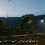
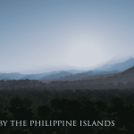
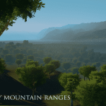
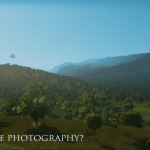
HOW DO I GET SCREENSHOTS LIKE THOSE.. DOES THE MAP REALLY LOOKS LIKE THAT?
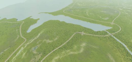
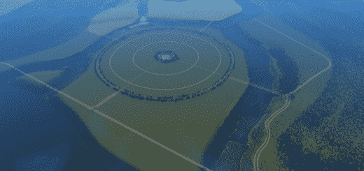
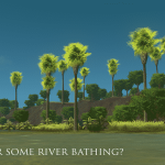
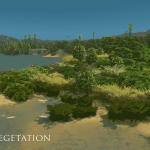
The screenshots I posted were the real photos of the map. Just subscribe to a Ground level Camera mod and with the proper angle you can imitate those shots. Enjoy! I used Temperate LUT on those shots.
RECOMMENDATIONS
1. I recommend the 2 lanes – two way highways from the Network Extensions Mod if you want to create realistic rural / suburban high ways. It’s perfect if you want to draw roads that’ll connect the plateau and the valley.
2. I also recommend the small 4 lane roads. it makes sense that mountainous cities will use smaller roads than a big roads in a city with flat topography..

