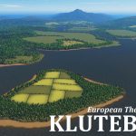
Kluteborg -Z- (European)
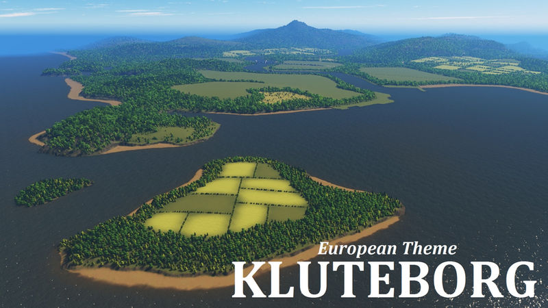
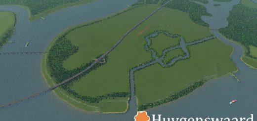
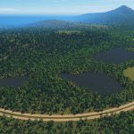
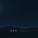
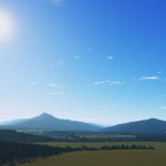
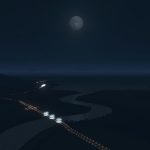
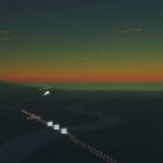
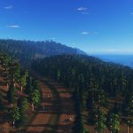
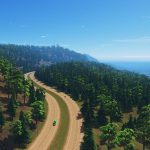
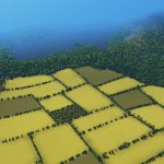
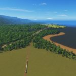
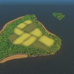
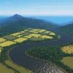
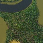
This map has a bit more height compared to my usual maps. It has lumpy hills, the occasional cliff, and two small islands in one corner of the map. However, there is plenty of flat space along the river to build your city. On one side at the mouth of the river is an area that has been optimized for ports. I’ve tested these and they should be great for building a transport hub. The second image in the slideshow shows the starting tile.
Infrastructure
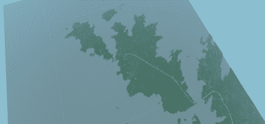
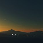
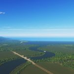
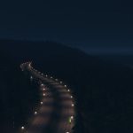
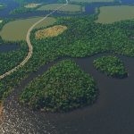
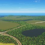
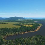
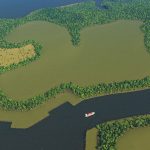
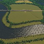
I’ve placed three highway routes, that join in the centre of the map. One of these curls along the mountain side. There is one rail line that crosses the river and the starting tile. In the third image of the slideshow is an area that has been optimized to place a tunnel, for either a highway or an avenue. There is enough space to build an airport. There are ship routes around the coast, the big river and between the small island.
Water
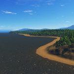
The main river has a sturdy water flow, suitable for sewage. There are various lakes that have their own water source, so they can be used for pumps. There is one near the starting tile and a cluster of three across the river. There is also an inaccessable basin further inland. There are plenty wide beaches along the coast for your tourism. I’ve tried to have the water flow away from the beaches.
Resources
Farmland is just fertile soil, there is no mixing of resource colors. There are three large oil and ore fields. I’ve placed these close together so that it’s a bit easier to build transport hubs.
Let me know if you have any suggestions or issues. Have fun!
Typical Dutch Landscapes
Drebbeldam (European)
Mondriaansland
Pierdoniadiel
Coastal
Kruyswick (European)
Baardmans Bay
Spykerbrook
Islands
Ambrose Island (European)
Teyland
Great Flutland
View the Main Collection
View the Classic Collection
View the Smooth Highway Collection

