Kruyswick -Z- (European)
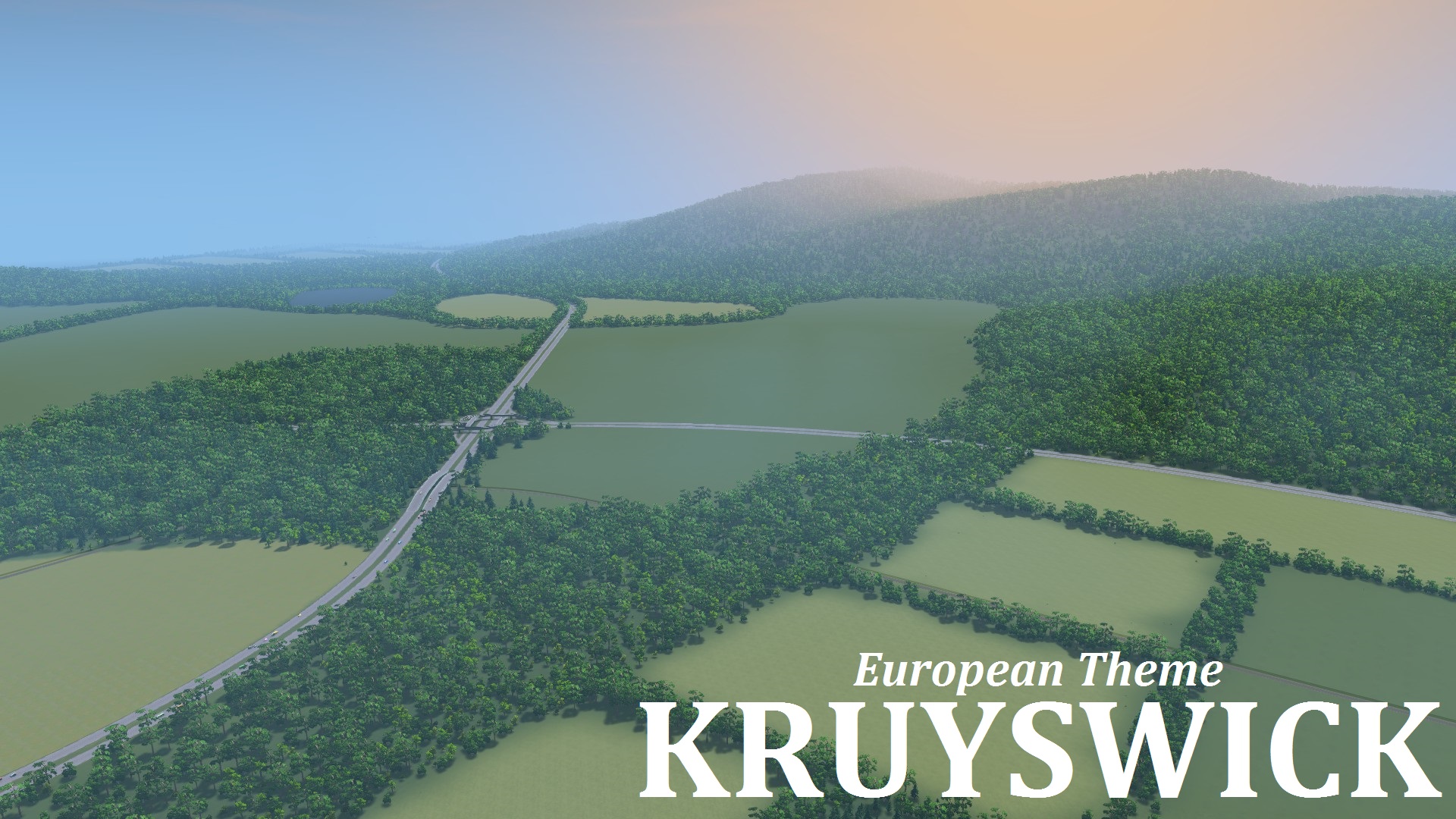
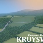
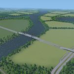
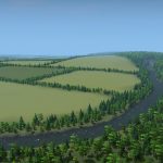
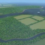
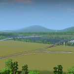
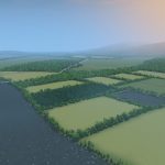
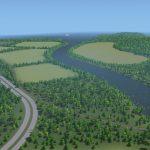
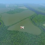
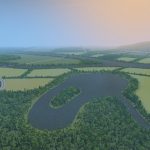
This European themed map is almost completely flat around the centre, but mountainous around the edges. There is a river that splits in two, and forms a small stream near the coast.
Infrastructure
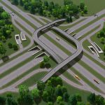
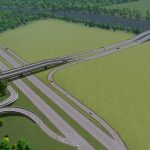
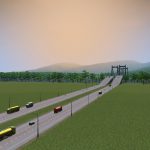
There are four highways that meet near the starting tile. I’ve made a large windmill intersection that is partially underground. There’s three lines of rail, also meeting in the starting area. There is a ship route on the big river and along the coast.
Water
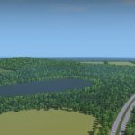
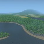
The main river has a very strong current. There are two round lakes in the outer tiles, and one artificial lake. To clarify, all lakes are capable of housing filtration plants or sewage pumps. This is because all lakes have their own water source, which prevents them from overflowing. If you dislike using them for sewage, you can always use the river. There is one tiny island at the mouth of the river, which is perfect for a monument or a lighthouse.
Resoures
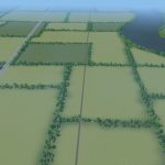
There are four oil and four ore fields. The ore is within the forests. There is plenty of farmland in the outer tiles. I’ve made the treelines a bit thicker compared to my previous maps for the sake of variation.
The map is named after Dutch cyclist Steven Kruijswijk who had a great Giro d’Italia this year. Also, because the highways cross (kruis) in the centre of the map.
Leave a comment if you have suggestions! Have fun!
Note: If you’d like to see this map in action, youtuber Keralis has a series on it: Episode 1
Note: The Intersection can be found in the Smooth Highway Collection
Typical Dutch Landscapes
Drebbeldam (European)
Mondriaansland
Pierdoniadiel
Coastal
Vlerkenburg
Baardmans Bay
Spykerbrook
Islands
Ambrose Island (European)
Teyland
Great Flutland
View the Main Collection
View the Classic Collection
View the Smooth Highway Collection

