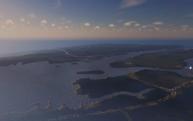
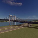

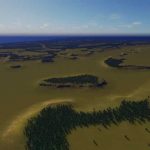
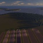
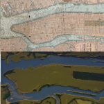
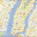
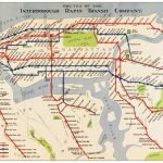

Manhattan / map
this is perhaps the best-known landscape, from all cities in the world…
<<<The card does not require mods>>>
A bit of history and statistics ( the whole text is taken from the website Wikipedia)
Area
• Total 33.6 sq mi (87 km2)
• Land 22.83 sq mi (59.1 km2)
• Water 10.8 sq mi (28 km2) 32%
Manhattan (/mænˈhætən/, /mənˈhætən/) is the most densely populated of the five boroughs of New York City. The borough is coterminous with New York County, founded on November 1, 1683 as an original county of the U.S. state of New York. The borough consists mostly of Manhattan Island, bounded by the East, Hudson, and Harlem Rivers, and also includes several small adjacent islands and Marble Hill, a small neighborhood on the mainland.
New York County is the most densely populated county in the United States and is more dense than any individual American city.[16] It is also one of the most densely populated areas in the world, with a census-estimated 2014 population of 1,636,268[1] living in a land area of 22.83 square miles (59.13 km2),[17] or 71,672 residents per square mile (27,673/km2). On business days, the influx of commuters increases that number to over 3.9 million,[18] or more than 170,000 people per square mile (65,600/km2). Manhattan has the third-largest population of New York City’s five boroughs, after Brooklyn and Queens, and is the smallest borough in terms of land area.[19]

