Mondriaansland -Z-
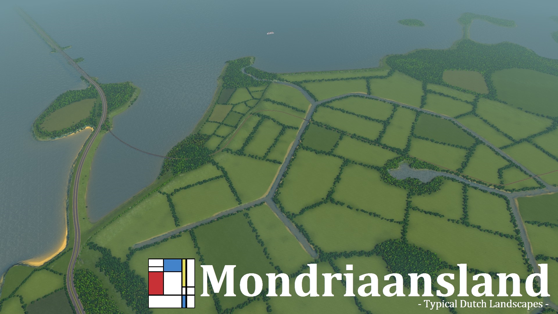
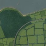
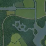
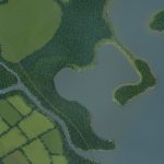
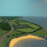
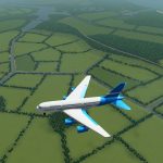
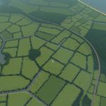
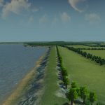
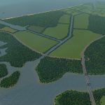
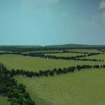
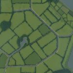
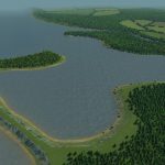
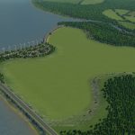
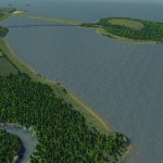
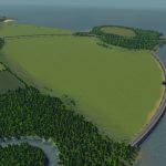
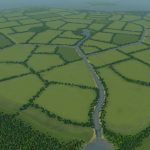
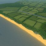
For this map I wanted to try something new, which is to have the ability to truly create a Dutch polder[en.wikipedia.org]. Therefore I have made two locations that are optimized for this, as you can see in the pictures above. There is also a large already established polder in the centre of the map, if you rather not change the coastline and still want to build below sealevel. I was mainly inspired by the province of North-Holland, especially the Wieringermeerpolder, Marken, Den Helder, IJmuiden, Hoorn en the Afsluitdijk.
The drainage of lakes and seashores to create polders is an old process. North-Holland was the first province to reclaim land on a large scale. It goes back as far as the early 17th century, when the people of Holland drained the Beemster Lake to create new land. After that many more polders followed, and currently about a sixth of the Netherlands is reclaimed from the sea, from lakes, or from floodland.
Infrastructure
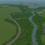
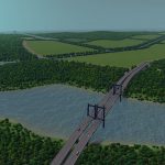
There are three highway connections, with the main one looping around the established polder. I’ve taken in account some feedback from users who suggested that my highway lanes were too close together on other maps. So I tried to leave some space between them, though at some places they might still be quite close since I personally like the look. There is one railwayline that crosses the starting tile and goes all the way up to my version of the afsluitdijk. There are ship routes all along the coast, and also one on the river, but these aren’t connected. The ship routes won’t interfere with the creation of polders.
Water
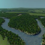
There is one river that stops at the established polder and from there is divided into: a smaller stream for sewage, a main canal towards the sea and a canal to irrigate the polder. There are several lakes and canals, and one larger natural swampy location in the southwest. In the starting tile there are two streams. I advice you to use the small round pit for sewage, as the other stream flows directly in the polder where the sewage will remain and pollute the farmland. There are also two great locations for a port along the seashore.
Resources
There are many dense forests and I’ve added strips of trees all around the map (totals at about 245k). There are plenty of strips of oil and ore, mostly in between the farmland, but each one also has a slighty larger field in the corners of the map. Farmland is available everywhere, and underneath the water of the polder locations.
I named the region after the painter Piet Mondriaan[en.wikipedia.org], known simply as Mondrian in English. He was a key figure in De Stijl movement, and made very recognizeable art. The subdivisioned landscape reminded me of his work.
Typical Dutch Landscapes
Drebbeldam (European)
Erasmuspoort (European)
Pierdoniadiel
Coastal
Kruyswick (European)
Baardmans Bay
Spykerbrook
Islands
Ambrose Island (European)
Teyland
Great Flutland
View the Main Collection
View the Classic Collection
View the Smooth Highway Collection

