

New Orleans- Below Sea Level w Decorated Parks
This is a joint project with Agusingnavy, Soruvisu and MrMaison, of a set of Bayou-themed maps. A million thanks to them for their beautiful contributions to this map! Thanks also goes out to the creators of the other awesome content that make this project possible, including Ston3D, BloodyPenguin, Boformer, TPB, and Ryanjamesoflondon.
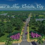
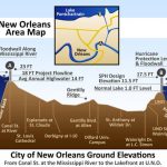
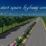
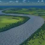
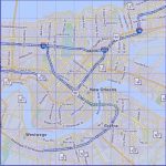
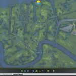
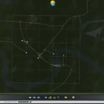
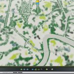
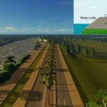
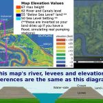
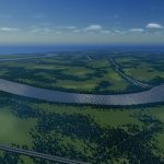
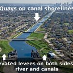
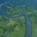
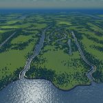
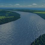
– Realistically simulated New Orleans. As in real life, most of the city area of this map sits below the water level of the Mississippi, Lake Ponchartrain and outflow canal system, and are all held back with earthen levees (as well as pre-made quaysides for the canals and the old city (French Quarter’s) waterfront, which is your start square
Will you leave the existing earthen levees? Will you upgrade them with the new “flood walls” that came out in the free update? Will you get tired of being a good leader and cause a break in the levees, watching your city flood before calling it a day?
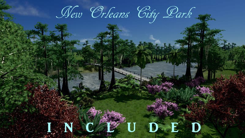
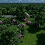
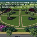
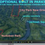
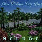
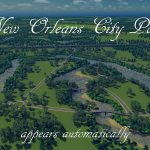
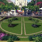
– Several pre-designed parks, including the large New Orleans City Park and famous Jackson Square, will appear automatically
– True to life decorated Jackson Square, New Orleans’ famous landmark, appears automatically if you subscribe to the optional items on the right.
– Highways as close to real life as using Google Earth as my source allows
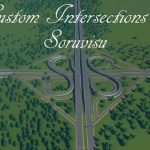
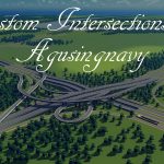
– Real life Louisiana Intersections as designed by Agusingnavy and Soruvisu
– Large city parks with close to real life ponds
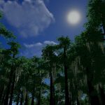
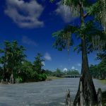
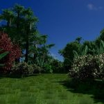
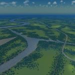
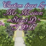
– Native trees and planting styles of the northern Gulf of Mexico
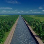
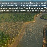
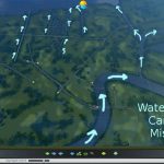
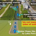
– Simulated New Orleans Industrial Canal, and outflow canals with correct water flow direction from real life pumping stations. There are water spawns inside the outflow canals so you can place pumping stations (or sewage stations) and have the water continue to flow. Break the levee and the water spawn will just keep producing water until the entire city area you’ve exposed to flood waters has filled up. If you fix the levee the water level will slowly reduce until you have dry land again.
Intersections by Agusingnavy
I 10, US 90 / South Claiborne Ave (the Superdome) aka Mr Miyagi’s Project
Intersections by Soruvisu
I 10 and N Causeway Blvd (connection to Lake Ponchartrain Causeway)
I 10 and US 61
MrMaison’s Nature Collection
Thanks to Agusingnavy and Soruvisu for requesting and inspiring this project with their beautiful intersections!
———–
Updated: removed quays, roads and paths that caused conflict after patch.
Most of all, I hope you have fun with this map, but if you’d like to donate a little something, you can do so through Paypal. Thanks! ?
[www.paypal.com]

