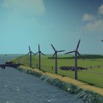
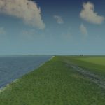
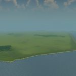
Noordoostpolder – Flevoland, NL
UPDATE: Fixed highway overpass in starting tile
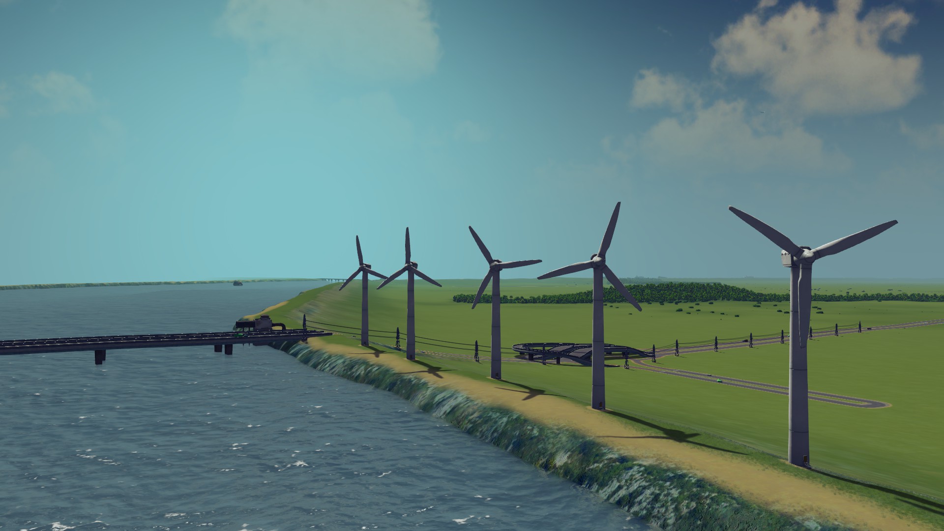
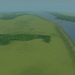
This map is based on the real municipality of the Noordoostpolder in the Netherlands. The area is famous for being below sealevel, its incredibly fertile soil, and for being one of the first modern Dutch polders. Currently it is part of the province of Flevoland, which is taken nearly entirely from the sea. The former islands Urk and Schokland are also in the Noordoostpolder. When the land was claimed in 1940 these islands ceased to be, however, they still provide character and history to the region as the contours are still clearly visible.
The map itself is very, very flat. I’ve used a heightmap, and only slightly raised the dikes to prevent flooding. From the east the river the IJssel provides a strong current. There are routes for ships along the entire coast. For gameplay purposes I’ve added oil and ore, but only in small amounts. There is also one incoming trainline on the border, though in reality the Noordoostpolder doesn’t have a rail connection.
A note of warning: 90% of the land is below sealevel. Don’t mess around with the dikes or your Cims will get wet!
Typical Dutch Landscapes
Drebbeldam (European)
Mondriaansland
Pierdoniadiel
Coastal
Kruyswick (European)
Baardmans Bay
Spykerbrook
Islands
Ambrose Island (European)
Teyland
Great Flutland
View the Main Collection
View the Classic Collection

