
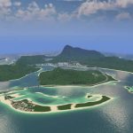
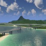
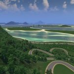
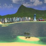
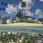
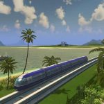
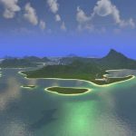
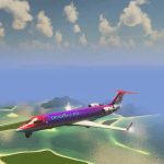
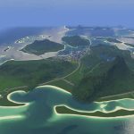
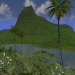
Paradise Reef Revisited Mass Transit Highly Decorated
SIGN UP FOR EXTRA ITEMS! One-Click Collection found here:
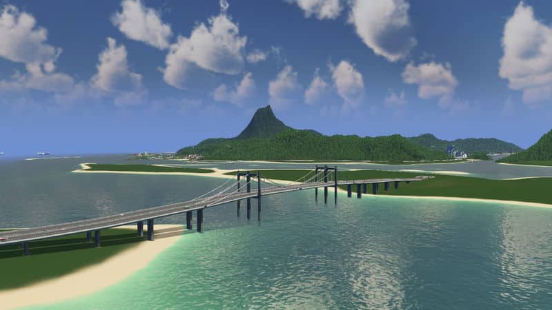
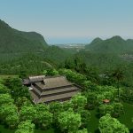
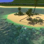
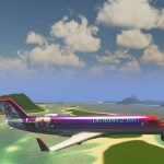
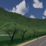
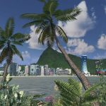
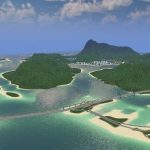
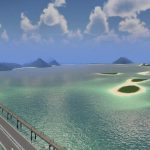
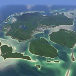
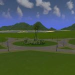
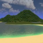
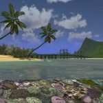
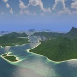
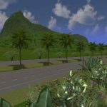
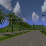
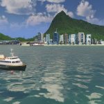
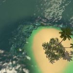
Paradise Reef completely reworked, with Mass Transit. New Coral Reefs, New Trees , moar beach! More description and one click collection coming soon…
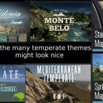
Mossy Mountain Map Theme is programmed in, but there are many great tropical looking themes based in temperate. Suggestion list coming soon
A big thank you to all the contributors without whom this map wouldn’t exist:
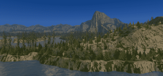
– Trees by Mr Maison, pdelmo, Matt Crux, RyanJamesofLondon
– Coral reef props by pdelmo (check out his seaweed “tree”, I recommend it if you want to do more detailing of the underwater reefs
– Intersections by Arisandi, Agusingnavy, Kapustor666,
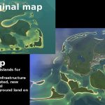
This is a redux of the original map Paradise Reef, located here:
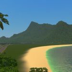
– It still has the things we love about Paradise Reef: the waterfalls, *that mountain*, the gardening and reefs
– It changes the things we liked least. Just some of the improvements over the original:
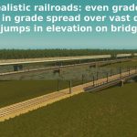
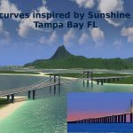
1. Greatly improved road and rail construction
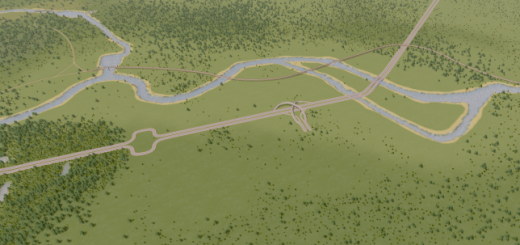
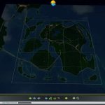
2. Regional traffic reduction: total! Instead of all traffic not even destined for your city barreling through the center of the map like it does on the original Paradise Reef, all regional traffic (from neighbor to neighbor) is diverted completely from the 25 square play area. You won’t even see them! Less traffic headaches. This is thanks to a carefully strategized bypass system that takes the vehicle behavior in the game into account. You will see it if you use 81 tiles or open this in map editor. If you want to know how this works so you can do this in your own map making, I aim to make a tutorial video, and add it into my map making guide
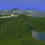
3. A lower total number of trees
4. A more pleasant Map Theme
5. More tasteful background land formations (hopefully they look more realistic than the large clunky border lands before)
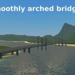
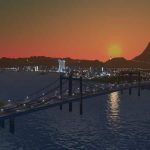
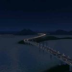
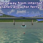
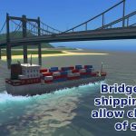
6. Bridges that are at heights that take the ships that pass underneath into account. Still, be sure when you are placing a harbor to look at the shipping lanes, and plan any bridges you make so they are at least ferry clearance height. The tallest bridge on this map can be used to judge the height of the tall cargo / cruise ships. The shorter bridge that crosses the inner lagoon can be used as a guide to the right height for ferry clearance.

