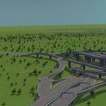
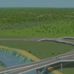
Sacramento, CA USGS
Sacramento, CA
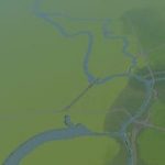
Topography created using terrain.party
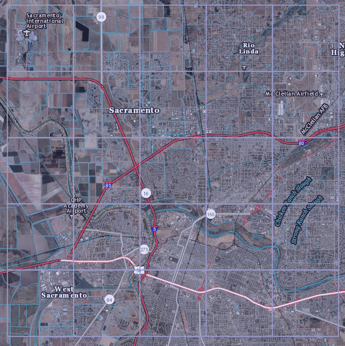
User area is 20x20km from Sacramento International Airport to Watt Ave & Jackson Rd.
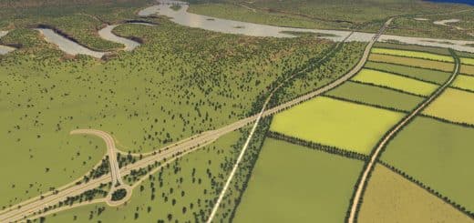
Riverbeds were emphasized to accomodate game’s water systems.
If there is something you would like to see me add or pay special attention to, please mention it in the comments!
Changelog
—————-
v1.0
-All freeways completed
-American River fine tuned
-On-ramps fine tuned
-Added connections to downtown from I-5
-Adjusted water levels (again)
-Adjusted resources
-Put a tree where IKEA is (because we all know that is important)
-Finalized.
v0.3
-Added I-5 to Hwy50 Interchange
-Added Hwy 50 to Cap City Fwy interchange
-Finished basic layout of I-5
-Added Cap City Fwy
-Added I-80 East connections
-Added Railways (central southern line is disconnected from border due to connection limit)
v0.2
-Fixed up Rivers to flow correctly.
-Added connections for I-5 south
-Added connections for I-80 West
-Added boat transport line
-Added all industrial resources based on rough estimation. (Minerals near riverbeds [gold], Fertile land where farms exist currently, Oil in Rio Linda [haha])

