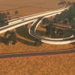
Sacramento / San Jouquin Delta
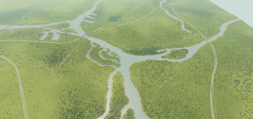
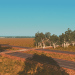
This map is based upon the Sacramento-San Joaquin delta in California. It includes:
• The Sacramento River Ship Canal
• Several irrigation canals
• Non-navigable river channels and sloughs
* A rice-paddy area
• Two mainline railroads
• Interstate 5 (north-south)
• California 12 (east-west)
• A cool double-deck bridge with auto traffic above, and train traffic below
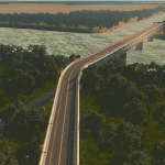
• A long, high auto bridge bridge over the ship canal, similar to CA 160 at Antioch, CA
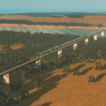
• A long, high rail bridge over the ship canal
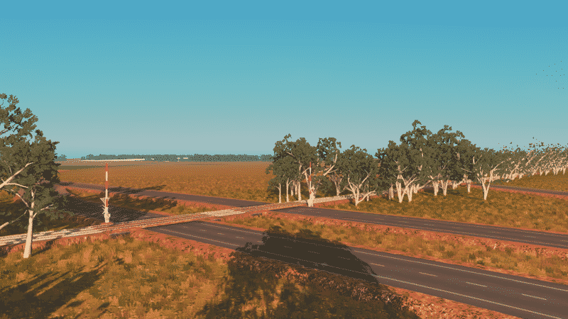
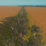
• Rail lines that are lined by Eucalyptus trees, similar to many real locations
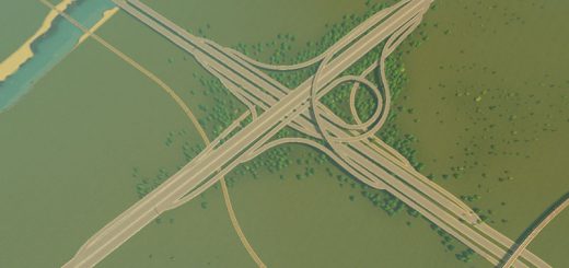
• Carefully engineered freeway interchanges
• A set of freeway ramps set up for future development of a rest area
To give the appearance of farm fields, I have used various resources painted into the land. For roads, most are from the Network Skins expansion, includng the National Road and the two-lane freeway lanes. Farm roads are cosntructed either out of the national road, or using the pedestrian dirt road. Most roads are unlit, as is typical of U.S. rural locations.
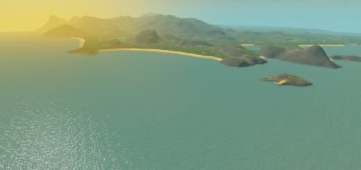
The map is mostly flat, so it should be easy to build upon. The map is intended to be played with 81 tiles, allowing for the development of several small communities. This said, the large central island would be a suitable location for a large city, if so desired.
I believe I have listed all dependencies. [11/22/16]

