Serenity Valley – Boreal
This is my first hand-made map.
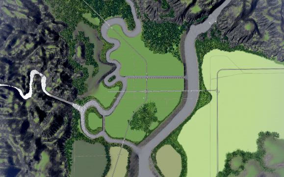
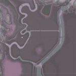
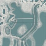
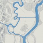
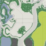
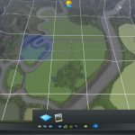
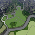
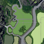
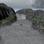
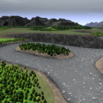
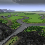
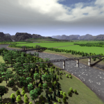
Serenity Valley has two small winding rivers that converge on higher ground, then meet up with a larger, lower river. There are three possible locations for a hydro dam. A dam with 1600 MW at the big waterfall is possible.
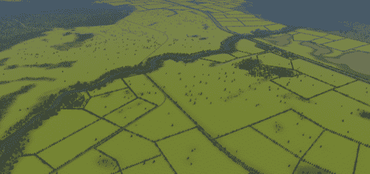
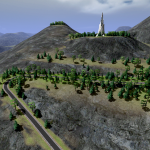
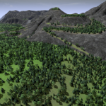
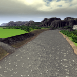
Panoramic views of mountains and hills, with a small amount of playable space in the foothills. Otherwise, the map is flat at two different heights. The lowlands are fertile, the highlands have some oil and ore. There are also about 152,000 trees.
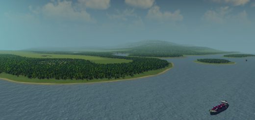
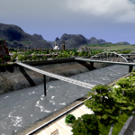
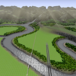
There are also two canals, intended to look man-made, and perfect for use with waterfront walkways. (See example image above.) Because this is an inland map, there is no ship connection.
Definitely use the 25-tile mod on this one.
Recommended waterfront assets:
Waterfront Walkway by Tair
Walkway by VIP
Waterfront Walkway by Deichstürmer
Hats off to MrMiyagi for his wonderful map-making guide. I really needed help with my mountains, and I discovered his tip on using Wilbur.
Unfortunately for this map, I was too far into the project to use it, but I will definitely use it in the future. So the mountains are entirely hand drawn here.
I hope you enjoy this map as much as I do. I imagined it for days and started it twice before it started to take shape.

