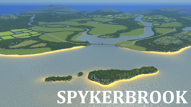
Spykerbrook -Z-
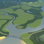
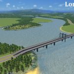
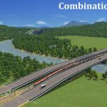
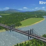
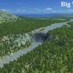
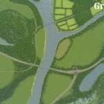
UPDATE: : The area around the road/rail combo bridge has been raised to prevent flooding. I’ve also raised the terrain of the river island. It should now be perfectly safe to build a dam at the big waterfall. Please be aware, placing a dam always causes some disruption to the water flow, but the water will stabilize eventually.
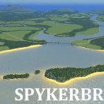
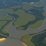
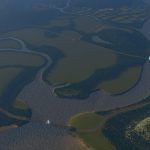
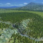
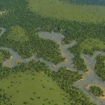
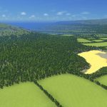
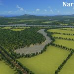
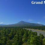
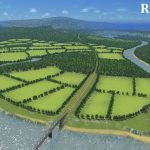
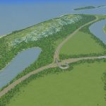
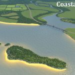
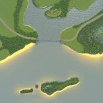
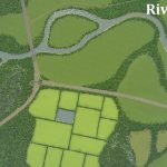
This map took quite some time to make, mainly because of the many waterways. The central area has a lot of flat land, most of it is leveled so it should be great for canals or sunken rail. I wanted the map to have some wilderness, and a big portion in the northwest is wetlands, hills and waterfalls. Outside of the playing area are bulky mountains, so the land at the border should be great to create scenic little hillside villages. There is a lot of nature, however there’s still plenty of farmland to cultivate along the big river. One part along the river is slighty lower than the water level and is surrounded by a dike.
Infrastructure
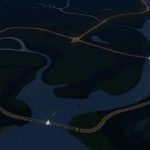
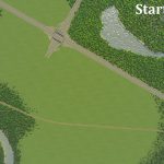
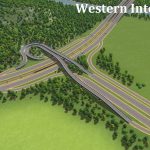
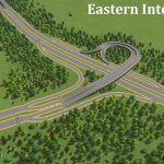
The map has three highway connections, and a ring highway that’s passing the central tiles and along the coast. Rail has a similar layout, three lines and a ring around the starting area. Airplanes should be able to land from any direction, and there is a lot of space for airports. Only the big river has a ship route, as has the coast line and a small part of the harbor area.
Water
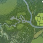
Aside from the big river, there are three smaller rivers that connect with the big one. Two of those smaller rivers have brooks connected to them. There is one big waterfall and a another narrow cascading waterfall that ends in a swampy area. The land below the big waterfall should be a good location for a power dam. There are about five small lakes, one of them is an artifical square one. All of them are able to have pumps or sewage pipes. There is a small pond within the sand pit.
Resources
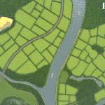
There are three large sections of farmland, with various forms of treelines. There are four oil and four ore areas, all of them are at some distance from the starting area. There is also plenty of forestery. Only the farmland outside of the playing area has some of it’s area colored with resources.
The name of the map is actually a little play on words, as ‘Spijkerbroek’ is the Dutch word for blue jeans, and ‘brook’ is another word for a creek or stream. I also think Spykerbrook has a funny ring to it. Anyway, this map was a lot of work and now that it’s done I plan to build a massive city on it. If you encounter any issues, want to show me your city, or have suggestions, please let me know in the comments. Have fun!
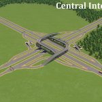
Note: The central interchange is available in my Smooth Highway Collection
Typical Dutch Landscapes
Drebbeldam (European)
Mondriaansland
Pierdoniadiel
Coastal
Kruyswick (European)
Baardmans Bay
Vlerkenburg
Islands
Ambrose Island (European)
Teyland
Great Flutland
View the Main Collection
View the Classic Collection
View the Smooth Highway Collection

