Timbuktu – Mali
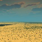
The city of Timbuktu is sometimes considered synonymous for a mythical place by Europeans, and some don’t know it actually exist. But it is a real place in the country of Mali. It is also famous for its University of Sankoré, once considered the most important scholarly institute in Africa.
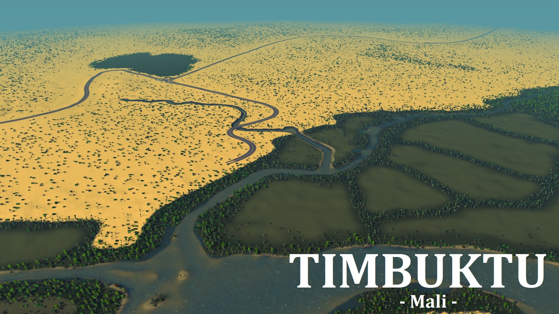
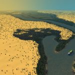
The city lies just north of the Niger river on the southern edge of the Sahara Desert. The town is the capital of the Timbuktu Region. Starting out as a seasonal settlement, Timbuktu became a permanent settlement early in the 12th century. The town is surrounded by sand dunes and the streets are covered in sand. The port of Kabara is to the south of the town and is connected to an arm of the river by a canal.
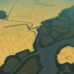
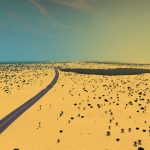
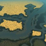
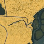
On this map you will start on a tile close to the river, near the town of Kabara. To the north you can find a small spot that is without sand which marks the location of the city of Timbuktu. There is one highway crossing the map. I’ve made rail connection on the border, but you’ll have to connect these yourself. The river is fastflowing and has a ship route. Water is a bit tricky, since you can easily drain the small siderivers. Spreading out you waterpumps, or placing them on the big river will prevent them drying up.
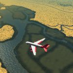
There are several oil & ore fields, and also a few strips of farmland along the river. The map is very flat, and building should be quite easy. In reality, there is an airport to the west of the small canal. I made sure the land there is flat enough for construction.
Typical Dutch Landscapes
Drebbeldam (European)
Mondriaansland
Pierdoniadiel
Coastal
Kruyswick (European)
Baardmans Bay
Spykerbrook
Islands
Ambrose Island (European)
Teyland
Great Flutland
View the Main Collection
View the Classic Collection

