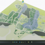
Toronto w/ IRL Highways and Rail
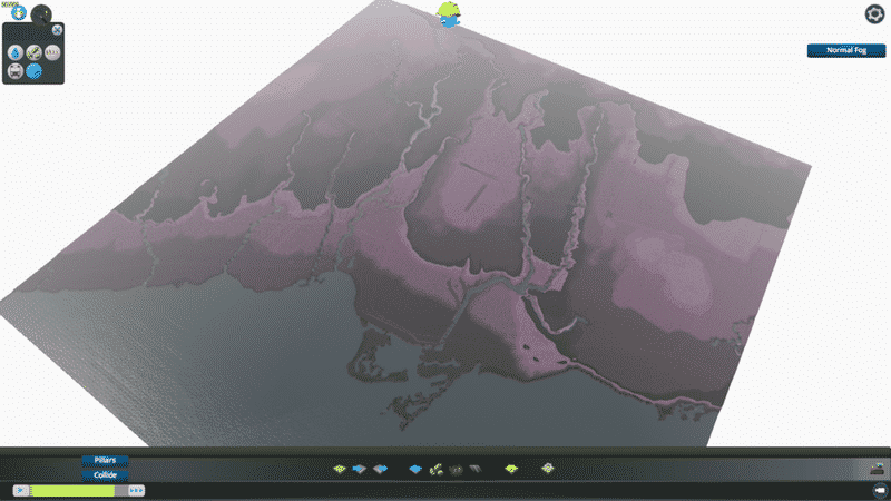
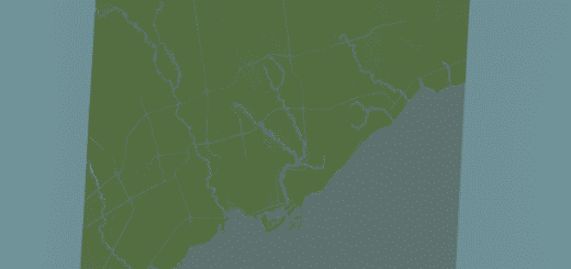
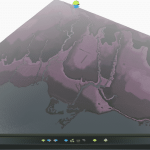
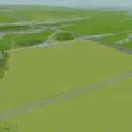
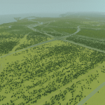
Toronto, Canada and the GTA stretching from Hamilton Harbour To Scarborough Bluffs and up to Newmarket with major terrain features accurately mapped.
—Terrain features include: Scarborough Bluffs, ravine system, Oak Ridges Moraine, Davenport Hill and others
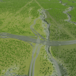
— All major rivers have been included and all work properly including Humber River, Don River, Black Creek, Taylor Creek, Etobicoke Creek, Mimico Creek, Credit River, Sixteen Mile Creek, West Highland Creek.
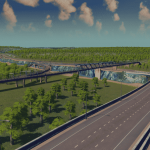
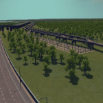
— Highways include the 401, 407, 403, DVP, 427, Gardiner, Allen Road, Black Creek Drive and QEW and they all work.
— All VIA, Go Transit and Major freight rail lines have been included with room for expansion and I’ve included most various major active rail yards aroung Toronto.
This map was created using Government of Canada Elevation Models 030m11 and surrounding regions and inspired by Omaha and Motani at Simtropolis forum. Contact me if you want these files as I can send them to you. Feel free to modify this map to your liking but please provide credit for this original.
Thanks and send me your photos of your Toronto!!!

